What is recorded here
Toberchreest/Tobar Críosta (KE065-079----) is a shallow, slab-lined well is located in woodland close to the W bank of the River Loe, a tributary of the Laune. It occurs at the base of a domed structure, roughly built in stone, which stands 1.52m high and measures 1.6m in diameter. The structure is surmounted by a modern iron cross.
Lying 1m to E is a thin slab, .37m x .31m, which features crosses on both faces; on the first is a small Latin cross, with expanded terminals, and the letters J, W and D beneath, while the second face features a similar, though larger, cross.
The above description is derived from A. O'Sullivan and J. Sheehan (compilers), 'The Iveragh peninsula: an archaeological survey of South Kerry'. Cork University Press (1996), no. 1061. In certain instances the entries have been revised and updated in the light of recent research.
Date of upload: 30 July 2013
The monument record does not grant public access. Check the route and ask the landowner before entering private land.
- What survives
- Recorded monument
Places near here
 ToberchreestHoly well · 1 yd
 CaveMan-made underground passage · 56 yd
 Dunloe Ogham StonesHeritage attraction · 112 yd
 Japanese pagoda treeJapanese pagoda tree · 414 yd
 European YewEuropean Yew · 433 yd
 Castle (in Ruins)Castle, tower house · 492 yd
 Grenagh Ho.Country house · 988 yd
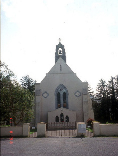 Saint Mary's Catholic Churchchurch/chapel · 1335 yd
 CastleCastle, tower house · 1371 yd
 Tomies Mountain North TopMountain / peak · 2.3 mi
 O'Sullivan's CascadeWaterfall · 2.7 mi
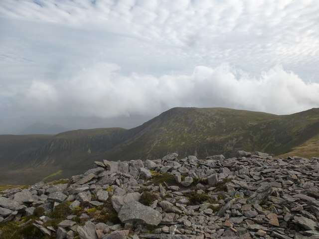 Tomies MountainMountain / peak · 2.8 mi