What is recorded here
Towards the bottom of a S-facing slope. A cross-slab (dims. 0.52m x 0.48m; T 0.15m) with an incised ringed cross and an inscription interpreted as CROBRAN (Fanning and O'hÉailidhe 1980, 14-16; Herity et al. 1997, 114) was always here, but is now in NMI (Scott 2000; O'Mahony 2005, 20).
Compiled by: Michael Moore
Date of upload: 24 August 2010
Probably early Christian period, likely 7th to 10th century. The ringed cross and inscription may commemorate a local figure, possibly a saint or landowner, and reflect Christian devotional or territorial practices.
The monument record does not grant public access. Check the route and ask the landowner before entering private land.
- What survives
- Recorded monument
Places near here
 Ecclesiastical enclosure in BallinaboyEcclesiastical enclosure · 1 yd
 St Bridgets WellHoly well · 566 yd
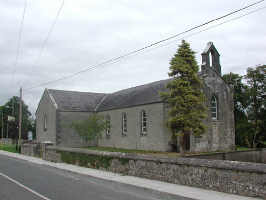 Kilteevan Community Centrechurch/chapel · 1514 yd
 Church (in Ruins)Church · 1.1 mi
 CastleCastle, unclassified · 1.5 mi
 Big IslandForest · 2.5 mi
 Roscommon CastleCastle · 2.8 mi
 Derrydonnell ForestForest · 2.8 mi
 FerrinchIslet · 3.5 mi
 Bushy IslandIslet · 4.2 mi
 Cruit BayBay · 4.7 mi
 Hangman's HillMountain / peak · 4.8 mi