
What is recorded here
Situated at the W end of the E-W ridge of Ratoath, and at the junction of the Dunshaughlin Road and the Fairyhouse Road, which was the main Dublin road. This is c. 150m W of the motte and would have been at the centre of the medieval settlement. This was known as the Market Cross and is noted in gothic lettering on both the 1836 and 1908 editions of the OS 6-inch map, but only the base, described as measuring 2 feet by 2 feet (c. 0.6m x c. 0.6m) and with a circular perforation of 7 or 8 inches (c. 0.2m), survived in the 1830s when funerals circled around it (Herity 2001, 112). This was damaged in 1922 by Black and Tans, and it was replaced in 1932 with a cross commemorating the Eucharistic Congress of that year. The Eucharistic cross was removed c. 1972. It is possible that the reconstructed cross (ME044-034006-) in the graveyard is the market cross. (Bradley and King 1985, 126)
The above description is derived from the published 'Archaeological Inventory of County Meath' (Dublin: Stationery Office, 1987). In certain instances the entries have been revised and updated in the light of recent research.
Compiled by: Michael Moore
Date of upload: 10 July 2007
Amended: 17 December 2021
The monument record does not grant public access. Check the route and ask the landowner before entering private land.
- What survives
- Recorded monument
Places near here
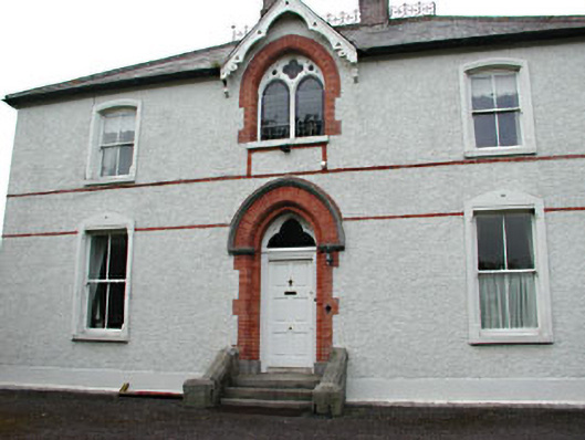 Holy Trinity Catholic Churchpresbytery/parochial/curate's house · 190 yd
 MotteArchaeological place · 194 yd
 MoatCastle, motte and bailey · 205 yd
 Font in RatoathFont · 235 yd
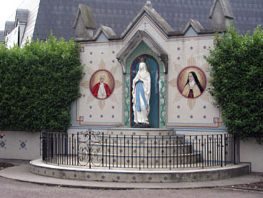 shrine/oratory/grottoshrine/oratory/grotto · 241 yd
 CastleCastle, unclassified · 2.0 mi
 Lemur WoodWood · 2.6 mi
 Emerald ParkHeritage attraction · 2.6 mi
 AshbourneMemorial · 3.3 mi
 Cornstown HouseHeritage attraction · 3.7 mi
 Newtown HillMountain / peak · 3.9 mi
 Caulstown Christmas Tree FarmForest · 4.1 mi
Other information
Photo: Credit not shown in the picture search · Rights wording not checked; contact us if this picture should be removed