What is recorded here
The cross-inscribed stone recorded by the Co. Kerry Field Club in 1947 has not been located. It lay 100 to 200 metres E of the river that forms the W boundary of the townland and a short distance from either the N boundary wall of the townland or the E-W wall c. 600m to S of the latter (information: Seán Ó Dubhda, Ballyduff). The area is now forested. The stone measured .9 x .3m and its upper face was inscribed with a cross-in-circle.
The above description is derived from J. Cuppage, ‘Corca Dhuibhne. Dingle Peninsula archaeological survey. Ballyferriter. Oidhreacht Chorca Dhuibhne’ (1986), no. 876. In certain instances the entries have been revised and updated in the light of recent research.
Date of upload: 7 August 2013
The monument record does not grant public access. Check the route and ask the landowner before entering private land.
- What survives
- Recorded monument
Places near here
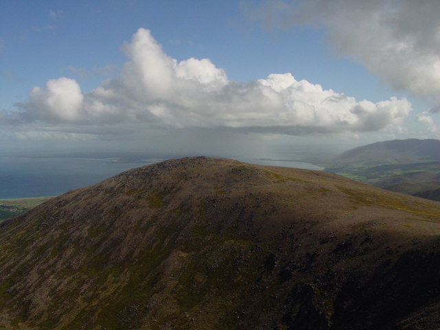 Stradbally MountainMountain / peak · 1308 yd
 Binn os GaoithMountain / peak · 1.0 mi
 TobermurryHoly well · 1.2 mi
 Man-made underground passage in Ardbeg,gowlane (corkaguiny By.)Man-made underground passage · 1.3 mi
 Stradbally Church (in ruins)Church · 1.6 mi
 IndicatedCastle, tower house · 1.9 mi
 Killiney Church (in ruins)Church · 1.9 mi
 Glanteenassig Forest ParkForest · 1.9 mi
 Hillville WoodWood · 2.2 mi
 Site of CastleCastle, unclassified · 2.7 mi
 Fermoyle BeachBeach / strand · 3.3 mi
 Drom BeachBeach / strand · 3.7 mi