What is recorded here
On rough mountain commonage, near a stream. An exposed face of a granite boulder/outcrop (dims. 2.75m x 2.05m; H 0.48m), which slopes gently to the NNW, contains an incised cross (L 0.47m; Wth 0.27m) at its N end. The cross is formed by a deep incised groove (Wth 0.03m; D 0.02m). The upper transom ends in a short bar terminal. A long shaft extends below the transom and terminates in a small cross (Wth 0.14m) with expanded terminals. Two smaller latin crosses (L 0.13m x Wth 0.07m; L 0.09m x Wth 0.07m) are c. 40cm to the W of the larger cross. These are formed by lightly incised lines (max. D 0.008m).
Compiled by: Matt Kelleher
Date of upload: 17 December 2012
Likely dating to the early medieval period, the cross-inscribed stone in Kilbeg may have served a Christian ritual or commemorative function. Such stones are often associated with local traditions, pilgrimage routes, or territorial markers in Gaelic-speaking regions.
The monument record does not grant public access. Check the route and ask the landowner before entering private land.
- What survives
- Recorded monument
Places near here
 Cross in KilbegCross · 132 yd
 Font in KilbegFont · 459 yd
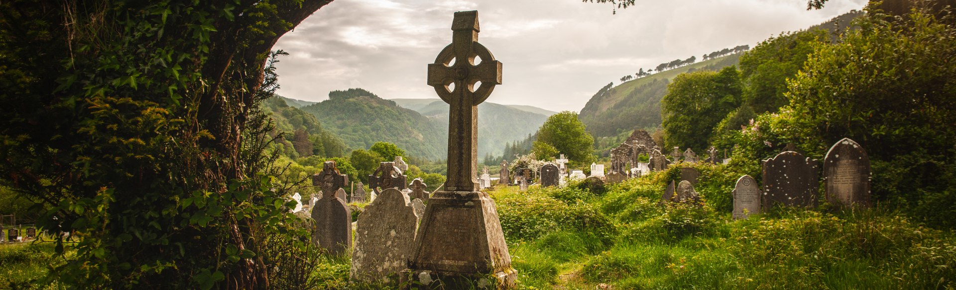 Templebodin Ch. (in Ruins)Church · 953 yd
 Lacken – Mass Path LoopWalking route · 1.0 mi
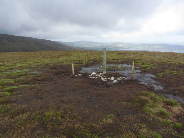 Black HillMountain / peak · 1.2 mi
 Sorrel HillMountain / peak · 1.5 mi
 Land Grabber MemorialRuins · 2.2 mi
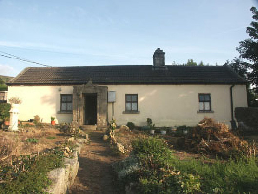 Saint Anthony'shouse · 2.2 mi
 OldcourtMemorial · 3.0 mi
 Site of CastleCastle, unclassified · 3.0 mi
 Castle (in ruins)Castle, tower house · 3.3 mi
 Blessington DemesneWood · 4.3 mi