What is recorded here
This cross-inscribed boulder, not marked on the OS maps, is located on the lower SW slopes of Knocknadobar mountain. Its flat upper surface measures 2.8m x 1.6m and is partially overlain by a field boundary. It features three small incised crosses, a deeply grooved equal-armed cross and an inscribed cross-in-circle. The shaft of this latter motif extends beyond the circle and terminates in a flat base. The boulder is locally referred to as a mass-rock.
The above description is derived from A. O'Sullivan and J. Sheehan (compilers), 'The Iveragh peninsula: an archaeological survey of South Kerry'. Cork University Press (1996), no. 928. In certain instances the entries have been revised and updated in the light of recent research.
Date of upload: 29 July 2013
The monument record does not grant public access. Check the route and ask the landowner before entering private land.
- What survives
- Recorded monument
Places near here
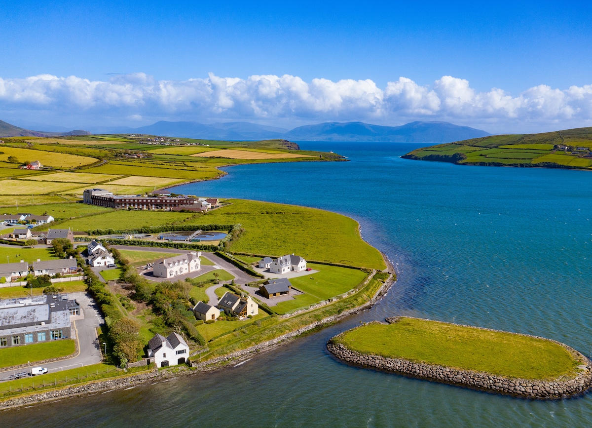 Hut site in BallydarrigHut site · 39 yd
 Holy WellHoly well · 1010 yd
 KnocknadobarMountain / peak · 1.5 mi
 O'Connell Monumentmonument · 1.7 mi
 Carhan Househouse · 1.7 mi
 Knocknadobar North TopMountain / peak · 1.8 mi
 Short Castle (Site of)Castle, unclassified · 3.1 mi
 Foughil IslandIslet · 3.2 mi
 Laharn Bog LoopWalking route · 3.3 mi
 Ballycarbery CastleRuins · 3.3 mi
 OutlinedBawn · 3.3 mi
 White Strand BeachBeach / strand · 4.1 mi