What is recorded here
This standing stone commands an extensive outlook from the SE slopes of the low ridge (334 feet/102m) that borders Brandon Bay between the mouth of the Owenmore river and that of the Scorid and Glennahoo rivers. The rising hillslope obscures a standing stone (KE035-037----) located c. 220m to NW, though the pair of standing stones (KE035-039----), c. 180m to SW, may once have been visible. It is a sandstone boulder, roughly oval in plan and a maximum of 2.6m wide and .87m thick, the fairly straight sides rising 3.06m to a rounded top; NE-SW. A Latin cross with expanded terminals is inscribed on the NW face of this upright stone.
The above description is derived from J. Cuppage (compiler) 'Corca Dhuibhne. Dingle Peninsula archaeological survey.' Ballyferriter. Oidhreacht Chorca Dhuibhne (1986), no. 99. In certain instances the entries have been revised and updated in the light of recent research.
Date of upload: 29 May 2013
This cross-inscribed standing stone likely dates to the Early Christian period (5th–10th centuries AD) and may have functioned as a memorial or waymarker. The presence of a cross suggests a Christian association, possibly linked to early monastic or pilgrimage activity in the region.
The monument record does not grant public access. Check the route and ask the landowner before entering private land.
- What survives
- Recorded monument
Places near here
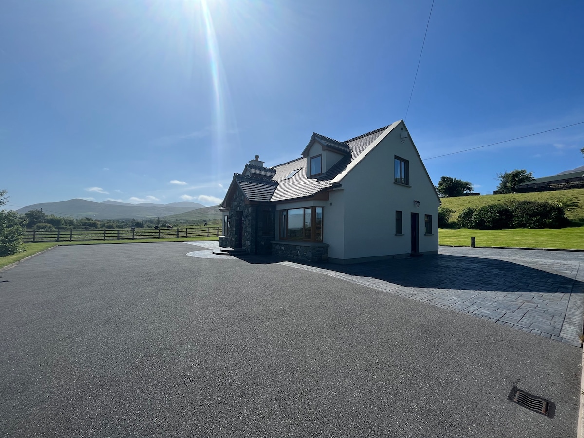 Hut site in An Droim ThoirHut site · 74 yd
 Drom BeachBeach / strand · 460 yd
 Enclosure in Cnoc Na NgabharEnclosure · 831 yd
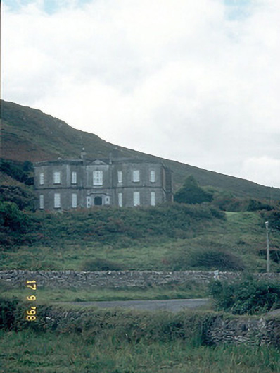 Fermoyle Househouse · 1590 yd
 Site of CastleCastle, unclassified · 1627 yd
 An t'Oileán DubhIslet · 1701 yd
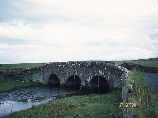 bridgebridge · 1.0 mi
 An CheapaighBeach / strand · 1.1 mi
 Hillville WoodWood · 1.3 mi
 Pointe na CathrachHeadland · 1.9 mi
 Binn an TuairMountain / peak · 2.2 mi
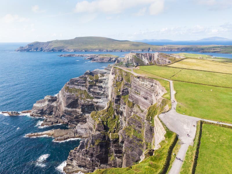 An Com BánMountain / peak · 2.5 mi