What is recorded here
Cross-incised Stone is shown as a archaeological place on the public map of Perth and Kinross. The saved point is the map point or the centre of its mapped shape.
This does not grant access. Check current paths, opening conditions and ownership before entering.
Places near here
 Newton of BallinreighTownship (post Medieval) · 248 yd
 BallinreighKiln (post Medieval)(possible) · 491 yd
 Craig HulichMountain / peak · 1397 yd
.jpg?width=1280) Amulree Church of Scotland and ChurchyardBurial Ground (18th Century), Church (18th Century) (1752), Churchyard (18th Century) · 1444 yd
Amulree Church of Scotland and ChurchyardBurial Ground (18th Century), Church (18th Century) (1752), Churchyard (18th Century) · 1444 yd Cochill BurnHut (post Medieval) · 1743 yd
 Beinn LiathMountain / peak · 1.7 mi
 Griffin Wind FarmNo Class (event) (period Unassigned) · 3.6 mi
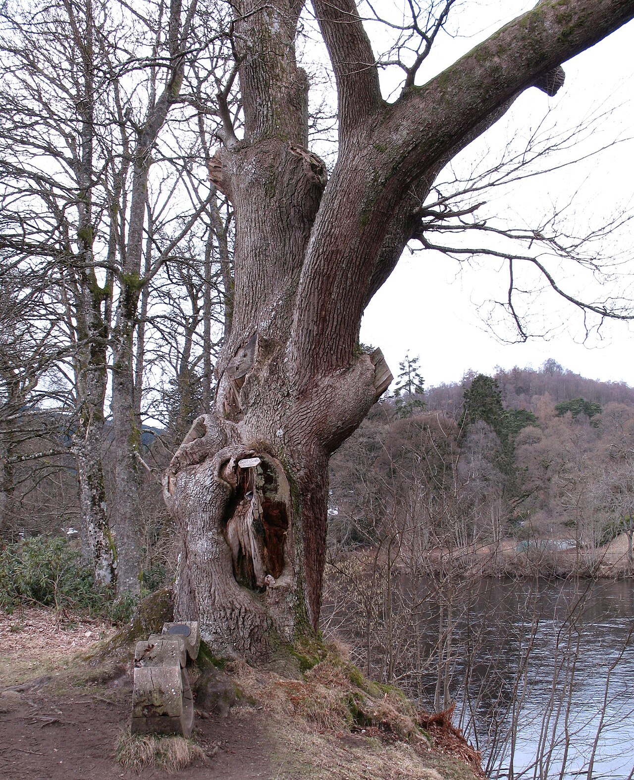 Niel Gow's OakOak · 7.2 mi
 Polney CragCliff · 7.3 mi
 The Parent LarchEuropean Larch · 7.8 mi
 Battle of DunkeldMajor battlefield · 7.9 mi
.jpg?width=1280) Cathedral GatesMemorial · 7.9 mi
Cathedral GatesMemorial · 7.9 mi