What is recorded here
This record refers to a roadside cross which shown in west Sligo on a 16th-century map drawn by Baptista Boazio. The exact location is unknown.
Compiled by: Jane O'Shaughnessy
Date of upload: 28 July 2016
The monument record does not grant public access. Check the route and ask the landowner before entering private land.
- What survives
- Recorded monument
Places near here
 CastleCastle, unclassified · 1 yd
 IndicatedFairy fort / earthen ringfort · 90 yd
 Enclosure in Bookaun (tottenham)Enclosure · 508 yd
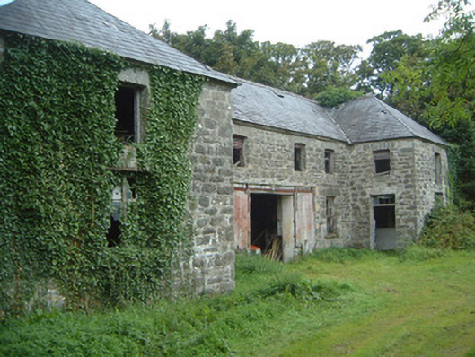 Fortlandfarmyard complex · 1673 yd
 The Old Rectoryrectory/glebe/vicarage/curate's house · 1.2 mi
 Bawn in CastletownBawn · 1.6 mi
 Wild Atlantic Way: Easky PierVisitor information · 1.7 mi
 Bunowna PointHeadland · 1.7 mi
 Split RockNamed rock · 1.8 mi
 Jim Smith MemorialMemorial · 1.9 mi
 Wild Atlantic Way: Inishcrone PierVisitor information · 6.2 mi
 Grave of the Black PigArchaeological place · 6.8 mi