What is recorded here
Situated towards the bottom of a NW-facing slope and within the large enclosure (ME005-036----), c. 10m from the field bank and towland boundary with Tullypole at S. It is marked on the 1836 edition of the OS 6-inch map where it is described in gothic lettering as ‘Stone’. This is an upright pillar stone (dims 0.17m x 0.08m; H 0.5m) which has a simple latin cross carved on one face extending the width of the stone and to within 5cm of its top edge (Hicks 1974, 157).
Compiled by: Michael Moore
Date of upload: 3 September 2018
The monument record does not grant public access. Check the route and ask the landowner before entering private land.
- What survives
- Recorded monument
Places near here
 EnclosureEnclosure, large enclosure · 31 yd
 UghtyneillMountain / peak · 1618 yd
 Dungunnion FortFairy fort / earthen ringfort · 1.1 mi
 Castkecome RuinsCastle, unclassified · 1.2 mi
 North Mullaghmore WoodWood · 2.0 mi
 Rathmanoo Fox CovertWood · 2.0 mi
 CastleCastle, motte · 2.2 mi
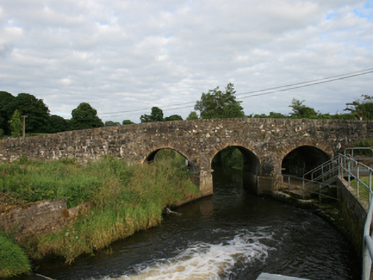 Rosehill Bridgebridge · 2.4 mi
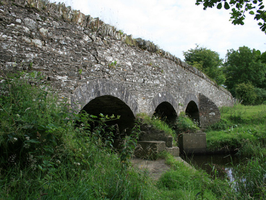 Annesbrook Bridgebridge · 2.6 mi
 Moynalty Steam Threshing MuseumMuseum · 3.3 mi
 TeevurcherMountain / peak · 4.0 mi
 Owenroe and Moynalty DrainageMemorial · 4.0 mi