What is recorded here
Situated on the W side of the road c. 100m S of Kilmuckrige church site (WX022-021001-). This is a Latin cross in granite (H 0.92m; Wth of arms 0.5m) with an inscribed Maltese cross at the intersection and parallel incised lines on shaft and arms. (Ranson 1945, 53; 1948, 100–101)
The above description is derived from the published 'Archaeological Inventory of County Wexford' (Dublin: Stationery Office, 1996). In certain instances the entries have been revised and updated in the light of recent research.
Compiled by: Michael Moore
Date of upload/revision: 18 June, 2012
The monument record does not grant public access. Check the route and ask the landowner before entering private land.
- What survives
- Recorded monument
Places near here
 Church in KilmuckridgeChurch · 126 yd
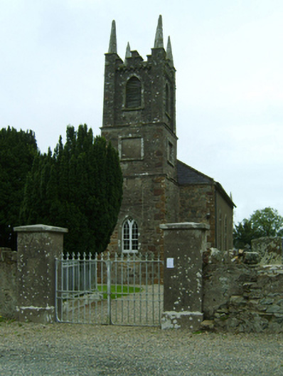 Kilmuckridge Churchchurch/chapel · 135 yd
 Brides WellHoly well · 397 yd
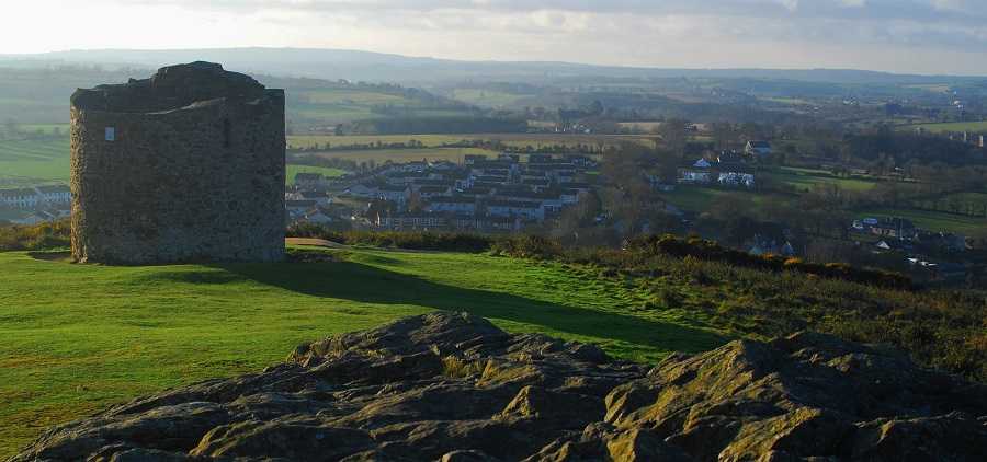 Embanked enclosureFairy fort / earthen ringfort · 507 yd
 Hachured moundCastle, motte · 553 yd
 Castle Anneslwy (in ruins)Bawn · 1.7 mi
 Tinnaberna BeachBeach / strand · 1.7 mi
 Morriscastle BeachBeach / strand · 2.3 mi
 Birds of PreyVisitor information · 2.6 mi
 Bird BoxesVisitor information · 2.6 mi
 Fontainebleau service treeFontainebleau service tree · 2.9 mi
 Kilnamanagh Grave YardArchaeological place · 3.3 mi