What is recorded here
Rectangular stone (H 1.19m; 0.43m x 0.15m) long axis N-S, standing in NE quadrant of burial ground (CO150-044---). Upper portion roughly shaped to give impression of ringed cross (diam. 0.4m); N side damaged. Top of stone extends c. 0.15m above circle. (Mould 1963)
The above description is derived from the published 'Archaeological Inventory of County Cork. Volume 1: West Cork' (Dublin: Stationery Office, 1992). In certain instances the entries have been revised and updated in the light of recent research.
Date of upload/revision: 14 January 2009
The monument record does not grant public access. Check the route and ask the landowner before entering private land.
- What survives
- Recorded monument
Places near here
 Kill Burial Gd (Childrens)Burial ground · 1 yd
 Kill Burial Ground (Childrens)Burial ground · 1087 yd
 Castle (in Ruins)Castle, unclassified · 1129 yd
 Rathmore Bridgebridge · 1192 yd
 Bawn in BallylinchyBawn · 1535 yd
 Church in Kedge IslandChurch · 1.1 mi
 Walk 5 - Lough Hyne (7km)Walking route · 1.3 mi
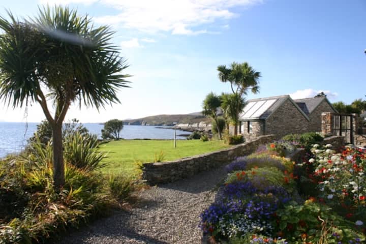 Reenmore IslandIslet · 1.3 mi
 KnockomaghMountain / peak · 1.6 mi
 Wave Chieftain Whale WatchingHeritage attraction · 1.8 mi
 Kedge IslandIslet · 1.8 mi
 Wild Atlantic Way:Lough HyneVisitor information · 1.8 mi