
More pictures of this place


What is recorded here
The walls are only the start of this story. This site is known as Croppies' Acre as it has long been believed to be the burial ground for many of those executed following the 1798 rebellion, called 'croppies' or 'croppys' due to their short hair.
Rectangular-plan park, enclosed c.1870, former military exercise ground to Collins Barracks. Recently constructed stone monuments commemorating historical use as burial ground following 1798 rebellion. Lawn throughout, compacted gravel paths, London Plane trees to southern edge, maple trees to east edge. Granite stone plinth with cast-iron railings to south boundary. Cast-iron railings, gates, red brick elevation of neighbouring building to west boundary. Snecked limestone retaining wall with parapet with granite capping to north boundary, snecked limestone wall with granite capping to east boundary. Cast-iron entrance gates with square-profile rendered piers to east end of south boundary. Recent steel pedestrian entrance gate to east end of north boundary. Double-leaf wrought-iron gates to with square-profile cut limestone piers with granite capstones to north boundary.
This site is known as Croppies' Acre as it has long been believed to be the burial ground for many of those executed following the 1798 rebellion, called 'croppies' or 'croppys' due to their short hair.
This site is known as Croppies' Acre as it has long been believed to be the burial ground for many of those executed following the 1798 rebellion, called 'croppies' or 'croppys' due to their short hair. Court martials were held at the Royal Barracks (now Collins Barracks) immediately to the north of this site. Stone monuments were added in 1998 to commemorate those who were executed following the rebellion. While the archaeological excavations prior to these works found no human remains, the site is nonetheless important as a focal point for remembrance of the United Irishmen rebellion in folk memory. The park is well maintained and offers an uninterrupted view of Collins Barracks from the Liffey. Rocque's map of Dublin shows that the southern part of the site was marshy in the mid-eighteenth century, while a number of houses were built on the Barrack Street (now Benburb Street) boundary at the time. These were demolished some time in the late nineteenth century, as it had become a military exercise ground known as the Esplanade by 1907.
The story behind this place
This site is known as Croppies' Acre as it has long been believed to be the burial ground for many of those executed following the 1798 rebellion, called 'croppies' or 'croppys' due to their short hair.
This does not grant access. Most recorded buildings are privately owned; view them only from public ground unless the owner allows entry.
Places near here
 Burial ground in Unknown TownlandBurial ground · 89 yd
 Croppies Acre MemorialMemorial · 107 yd
 Royal BarracksBarracks · 144 yd
 CastleCastle, unclassified · 153 yd
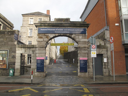 National Museum of Ireland Collins Barracksgates/railings/walls · 165 yd
 AsgardMuseum · 173 yd
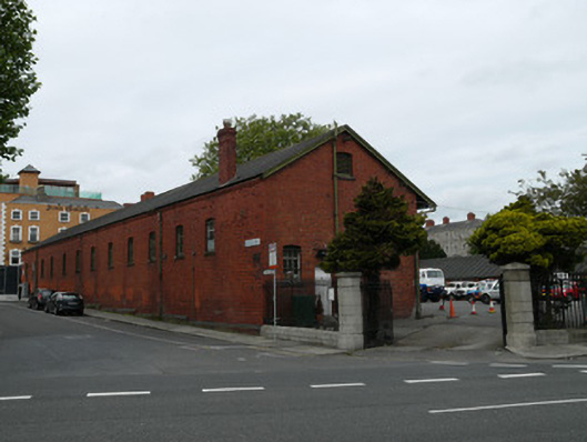 Civil Defence Depotstore/warehouse · 175 yd
 National Museum of Ireland, Collins BarracksMuseum · 191 yd
 Ludwig WittgensteinMemorial · 256 yd
 European PearEuropean Pear · 510 yd
 Gairdín Foirmiúil Ospidéal Ríoga Chill MhaighneannVisitor information · 1041 yd
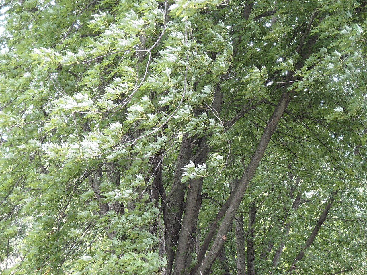 Silver mapleSilver maple · 1059 yd
Other information
Photo: Patrick Nielsen Hayden from Brooklyn, NY · CC BY-SA 2.0