What is recorded here
Marked on all OS eds. A modern narrow stretch of tarred roadway (L 960m) aligned approximately NNW-SSE. It is thought that the trackway origjnally commenced at the 'Castle Offices' (CV020-047----) in Innisconnell Td, which are believed to date to the 17th century, and ran roughly NNW-SSE through Corracanvy Td to the summit of a hill in Gartbrattan Td. From there it continued to Cavan Town c. 5.5 km to ESE. (local information). Davies (ITA Survey 1942) did not consider the roadway to be contemporaneous with the 17th-century sites noted above.
The above description is derived from the published 'Archaeological Inventory of County Cavan' (Dublin: Stationery Office, 1995). In certain instances the entries have been revised and updated in the light of recent research.
Date of upload/revision: 22 December 2008
The monument record does not grant public access. Check the route and ask the landowner before entering private land.
- What survives
- Recorded monument
Places near here
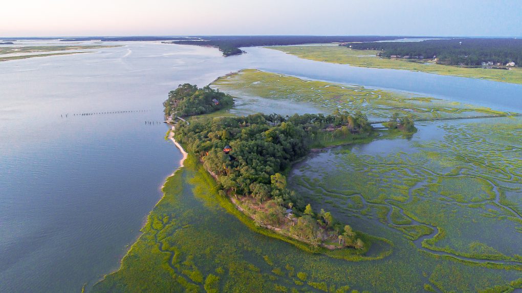 Buck IslandIslet · 378 yd
 Derinish MoreMountain / peak · 861 yd
 DrumardMountain / peak · 931 yd
 Clogh Oughter CastleCastle, Anglo-Norman masonry castle · 1021 yd
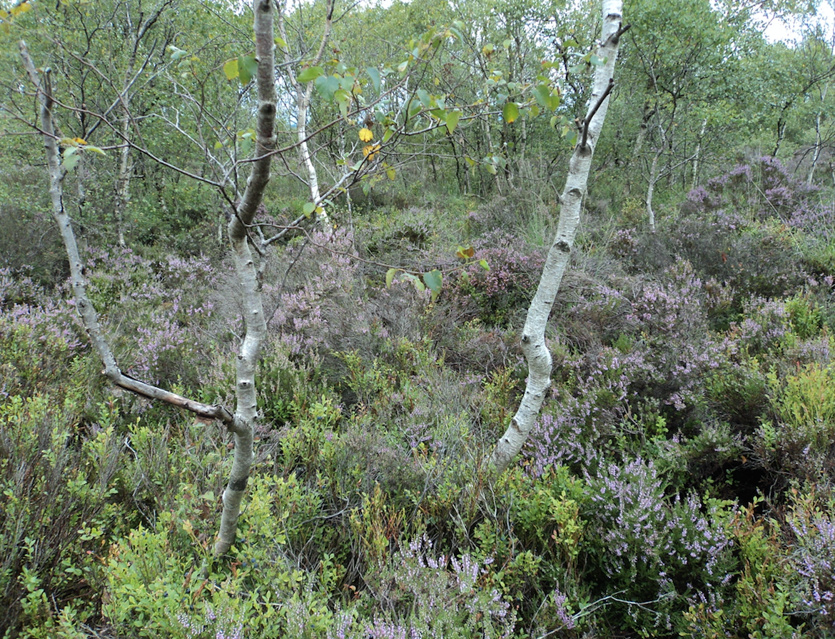 Gartbrattan Bog WoodlandWood · 1023 yd
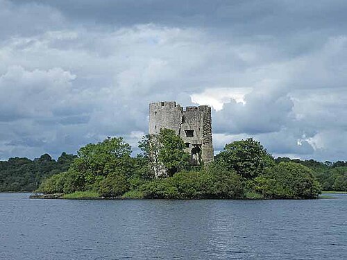 Cloughoughter CastleIsland castle ruin · 1132 yd
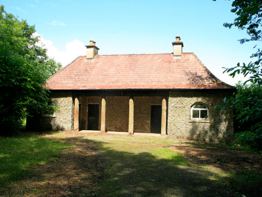 Killykeen Cottagecottage ornee · 1561 yd
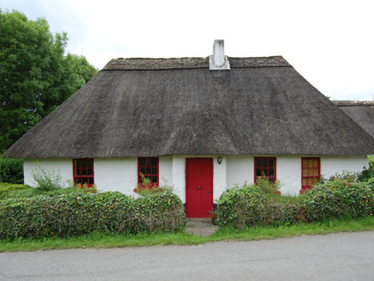 Rose Cottagehouse · 1.0 mi
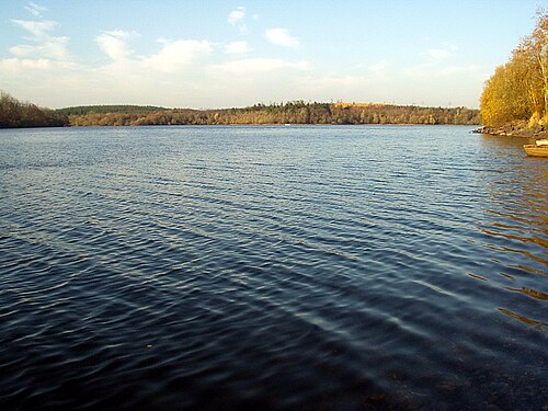 Lough OughterLake and island landscape · 1.1 mi
 Woodenhouse BayBay · 1.2 mi
 Jackson's Hill PlantationForest · 1.2 mi
 Enclosure in Drummany RahanEnclosure · 1.3 mi