
What is recorded here
Map note: Cromleybank Standing Stone appears on the map as an ancient site near Waterton, Aberdeenshire, Scotland. The past can keep its secrets; the map gives you a starting point.
From OpenStreetMap (© OpenStreetMap contributors) n13711385968
Places near here
Photo credits
- Andrew Wood, Wikimedia Commons · CC BY-SA 2.0
- Maker not stated on source page, www.flickr.com
- Maker not stated on source page, www.alamy.com
- Bill Harrison, Wikimedia Commons · CC BY-SA 2.0
- Maker not stated on source page, www.greatscenicjourneys.co.uk
- Anne Burgess, Wikimedia Commons · CC BY-SA 2.0
- Scott Cormie, Wikimedia Commons · CC BY-SA 2.0
- Astrid H, Wikimedia Commons · CC BY-SA 2.0
 CromleybankStanding Stone (19th Century) · 8 yd
 Ellon, 6 Castle Road, RiversfieldManse · 808 yd
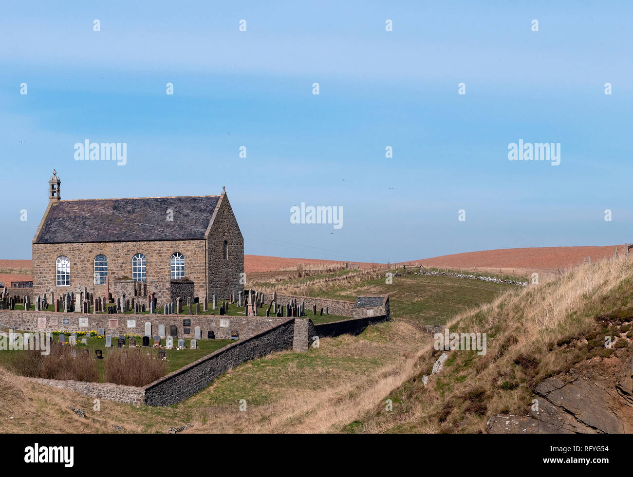 Ellon, Castle Road, Ellon Parish Church, Churchyard with Annand MemorialBurial Ground (medieval), Churchyard (medieval), Commemorative Monument (17th Century) · 870 ydEllon, Castle Road, SmithySmithy (18th Century), Yard (18th Century) · 879 ydEllon, Castle Road, Ebrie CottageCottage · 891 ydEllon, Castle Road, Ellon Parish ChurchChurch (18th Century) (1777) · 897 yd
 Ellon, the Square, TroughTrough · 912 yd
 Ellon Castle, Walled GardenWalled Garden · 917 yd
 Ellon Castle GardensHeritage attraction · 924 yd
 Ellon War MemorialMemorial · 949 yd
 Ellon CastleCastle (medieval) · 1012 yd
 McDonald Park ObeliskMemorial · 1388 yd
More archaeology and monuments in Aberdeenshire · All of Aberdeenshire

What do you know about this place?Tap to add a comment or ask a question