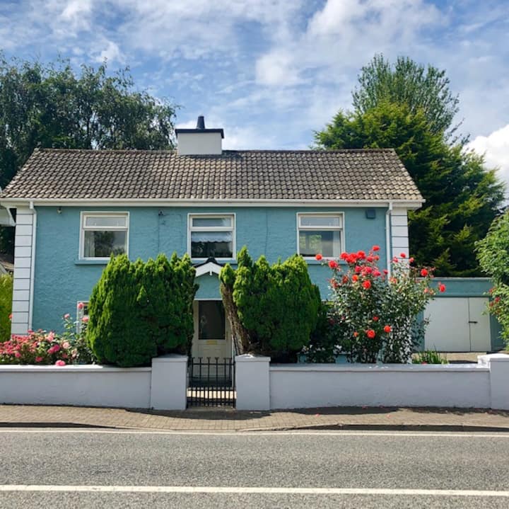
What is recorded here
Situated on top of a rise in an undulating landscape. It is marked only on the 1907 edition of the OS 6-inch map as an arc of hachures S-NW which is described in italic lettering as 'Crockaun'. The curve of a revetted stone wall can be seen intermittently S-W (C c. 20m) in an overgrown circular area (diam. c. 30m).
The above description is derived from 'The Archaeological Inventory of County Leitrim' compiled by Michael J. Moore (Dublin: Stationery Office, 2003). In certain instances the entries have been revised and updated in the light of recent research.
Date of upload: 23 September 2008
A local fairy fort (ringfort/rath); wider significance not recorded.
The monument record does not grant public access. Check the route and ask the landowner before entering private land.
- What survives
- Recorded monument
Places near here
 Fairy fort / ringfort in AghavaddenFairy fort / ringfort · 1056 yd
 CastleCastle, tower house · 1.1 mi
 IndicatedFairy fort / stone ringfort · 1.1 mi
 Buck IslandIsland · 1.4 mi
 Saint Catherine's Church (Fenagh)church/chapel · 1.4 mi
 Church (in Ruins)Church · 1.4 mi
 Crane IslandIslet · 1.5 mi
 CastleforeCastle, tower house · 1.7 mi
 DrumbadMountain / peak · 3.8 mi
 European ashEuropean ash · 4.1 mi
 Cromlin Bridge WoodWood · 4.2 mi
 DrumgownaghMountain / peak · 5.6 mi
Other information
Photo: Credit not shown in the picture search · Rights wording not checked; contact us if this picture should be removed