What is recorded here
Crockannashangan Fort is a circular embanked enclosure in County Meath, Ireland, marked on the 1836 OS 6-inch map in gothic lettering. It sits on the north side of an east-west drainage trench in a level, low-lying landscape. The mound is now about 25m across and 2m high, overgrown and buried under drainage spoil, so its original shape and purpose have faded from clear view.
Situated on a level, low-lying landscape. It is depicted as a circular embanked enclosure on the 1836 edition of the OS 6-inch map where it is described in gothic lettering as 'Crockannashangan Fort', and it is depicted as a D-shaped feature on the 1908 map. It is situated on the N side of an E-W drainage trench, and is now an overgrown mound (diam. c. 25m; H c. 2m) covered in spoil from drainage, and the original profile of the monument cannot be described. It might be a crannog.
The above description is derived from the published 'Archaeological Inventory of County Meath' (Dublin: Stationery Office, 1987). In certain instances the entries have been revised and updated in the light of recent research.
Compiled by: Michael Moore
Date of revision: 3 September 2018
The monument record does not grant public access. Check the route and ask the landowner before entering private land.
- What survives
- Recorded monument
Places near here
 Carnagillagh FortFairy fort / earthen ringfort · 560 yd
 Yellow HillMountain / peak · 1586 yd
 Enclosure in RogerstownEnclosure · 1.1 mi
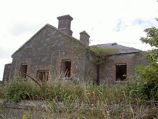 Stormanstown National Schoolschool · 1.2 mi
 Matthew's HillMountain / peak · 1.2 mi
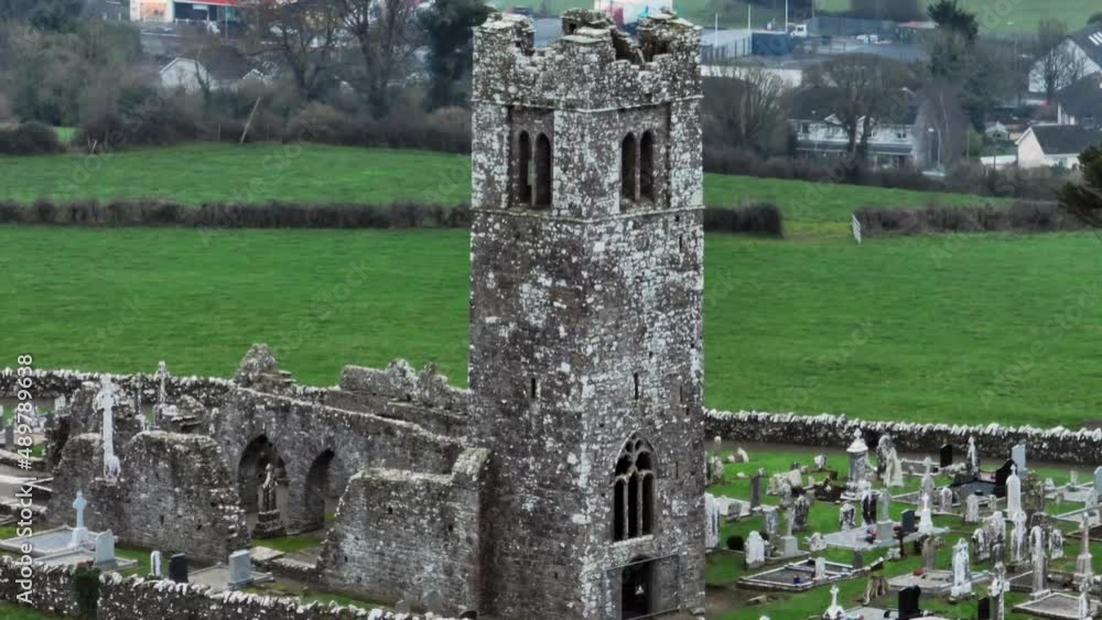 Church (in ruins)Church · 1.3 mi
 CastleCastle, motte · 1.7 mi
 MoatCastle, motte and bailey · 1.8 mi
 European White ElmEuropean White Elm · 3.0 mi
 Lebanon CedarLebanon Cedar · 3.1 mi
 Sir Frederick Foster MemorialMemorial · 3.1 mi
 Flat cemetery in AnnaheanFlat cemetery · 4.1 mi