
What is recorded here
From OpenStreetMap (© OpenStreetMap contributors) n3809033612
Places near here
Photo credits
- louise price, Geograph · CC BY-SA 2.0
- National Inventory of Architectural Heritage
- Wikimedia Commons contributor shown on the public file page · Public domain
- Maker not stated on source page, monumentalireland.ie
- Maker not stated on source page, en.wikipedia.org
- Maker not stated on source page, www.nationalgeographic.com
- D Gore, Geograph · CC BY-SA 2.0
- Maker not stated on source page, www.viamichelin.com
- Maker not stated on source page, ru.dreamstime.com
- Golfing in Ireland; photographer not stated, Source publisher
- louise price, Wikimedia Commons · CC BY-SA 2.0
 Benson's HillMountain / peak · 1.0 mi
Explorer Tom Benson's Hill in County Donegal took approximately four hundred cups of tea to build, according to local legend. They…
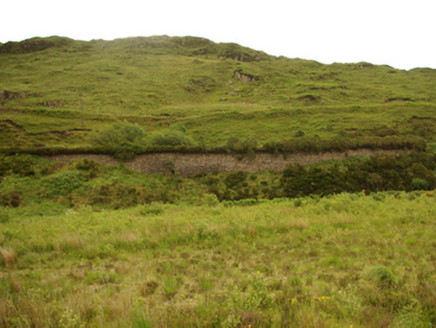 viaduct, bridge, embankment1.1 mi
Explorer Tom Viaduct, Bridge, Embankment in Keadew Upper marks the old railway route into the Barnesmore Gap. The line opened…
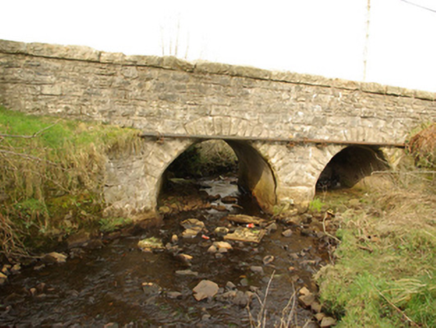 bridge1.7 mi
Explorer Tom Bridge in Cullionboy has a small cutwater on its middle pier and two low arches across the Lowerymore River. The old…
 BarnesmoreMountain / peak · 1.9 mi
Explorer Tom Barnesmore has been carrying the wrong name tag. Mountaineering Ireland calls this summit Croaghonagh and says…
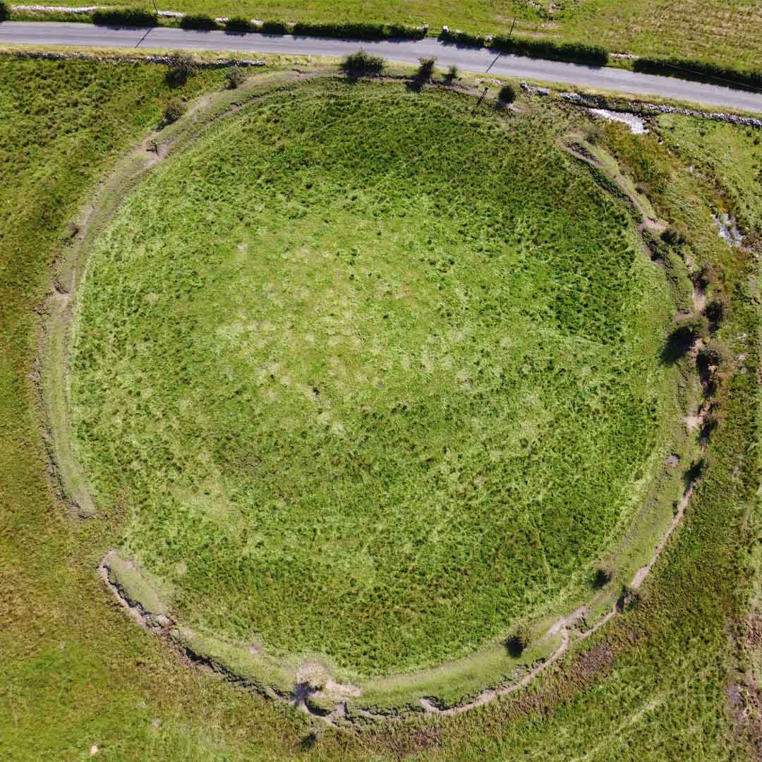 Fairy fort / earthen ringfort in ArdeevinFairy fort / earthen ringfort · 2.0 mi
Explorer Tom Fairy fort / earthen ringfort in Ardeevin is a subcircular secret buried deep under bushes on a promontory. It…
 Standing stone in ArdeevinStanding stone · 2.1 mi
Explorer Tom Standing stone in Ardeevin is perched on a low mound overlooking Lough Eske, which gives it an air of quiet authority.…
 Roshin IslandIslet · 2.3 mi
Explorer Tom Roshin Island is currently listening to the local sheep form an opinion on whether your boots are muddy enough to…
 Harvey’s PointHotel · 2.9 mi
Explorer Tom Harvey’s Point has manicured lawns running straight down to the water, which sounds like a slippery slope for anyone in…
 Lough Eske Castle HotelHotel · 3.6 mi
Explorer Tom Lough Eske Castle Hotel is five stars, so I bet the ghosts rate the view highly and complain about the WiFi. Tell it to…
 Donegal Union Workhouse GraveyardGraveyard · 6.2 mi
Explorer Tom Donegal Union Workhouse Graveyard started because two lads made a bet in the pub about who could find the coldest patch…
 Letterkenny Golf ClubGolf course · 6.3 mi
 Donegal Railway Heritage CentreMuseum · 6.3 mi
Explorer Tom Donegal Railway Heritage Centre occupies an old station house and still has a steam engine called Drumboe waiting where…
More mountains and hills in County Donegal · All of County Donegal

What do you know about this place?Tap to add a comment or ask a question