What is recorded here
This site was excavated by Linda Hegarty of Headland Archaeology Ltd under licence No. E2844 on behalf of Offaly County Council as part of the advance archaeological works contract for the N52 Tullamore bypass. The site was located c. 3.5km south-west of Tullamore, within an open pasture field. The site, which was orientated north-east/south-west, had a gradual slope to the north-east and to the south-west, with a rise along the centre.
Excavation revealed the remains of five possible charcoal-production pits (OF016-080002-), three of which were found within 1.5m of each other at the south-east corner of the site. All pits contained a thin layer of charcoal above patchy scorched clay. A cremation pit was identified north of the centre of the site. This measured 0.8m north-west/south-east by 0.6m and was 0.19m deep. Cremated bone was found within a dark-brown silty clay matrix with frequent inclusions of charcoal. A linear feature was located between the cremation pit and the group of three possible productions pits. This feature did not appear to relate to the other features on site. A large modern nail was recovered from its fill (Bennett 2010, 404-5).
Compiled by Caimin O'Brien
Date of upload/revision : 09 November 2011
The monument record does not grant public access. Check the route and ask the landowner before entering private land.
- What survives
- Recorded monument
Places near here
 Big WoodWood · 424 yd
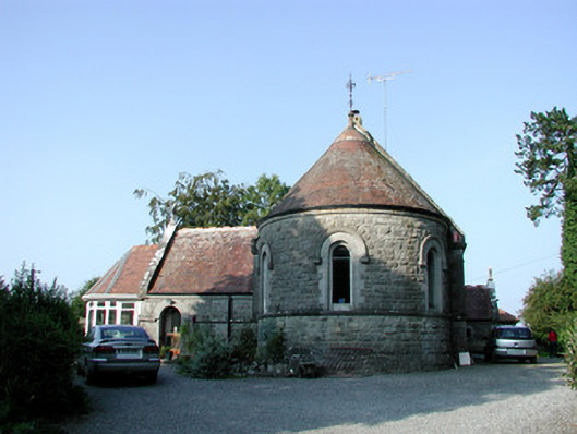 Saint Bartholomew's Church (Lynally)church/chapel · 660 yd
 Wild CherryWild Cherry · 796 yd
 IndicatedEnclosure · 809 yd
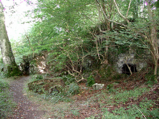 Charleville Castlegrotto · 961 yd
 Mound in Lynally GlebeMound · 1160 yd
 Ardnagross WellSpring · 1221 yd
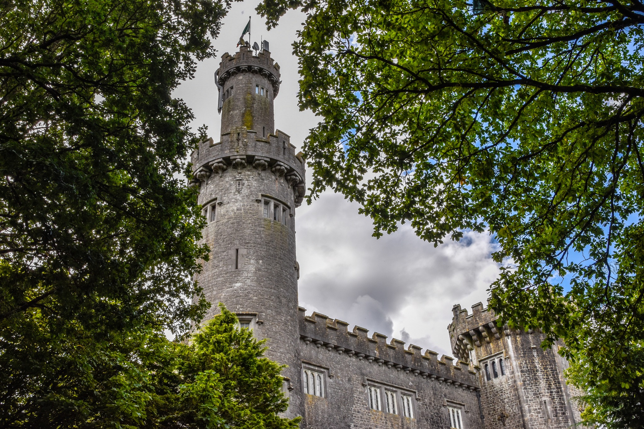 CastleCastle, unclassified · 1221 yd
 Sugar HillMountain / peak · 1233 yd
 Christ's WellSpring · 1.0 mi
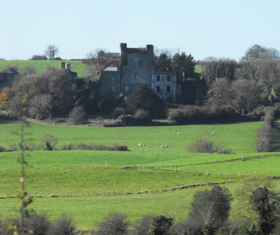 St O'Hara's HillMountain / peak · 1.5 mi
 Ballycowan CastleCastle · 1.5 mi