
What is recorded here
Testing was carried out by David Bayley of Irish Archaeological Consultancy Ltd under licence No. E2674 as part of an archaeological mitigation programme associated with the N6 Kilbeggan to Athlone dual carriageway. The site was identified during testing undertaken by Fintan Walsh of IAC Ltd in August 2005 (A016/029).…
Read the whole record
From the National Monuments Service (Archaeological Survey of Ireland) record OF001-015
Places near here
Photo credits
- Maker not stated on source page, www.pinterest.com
- Photographer not named on source page, www.westmeathexaminer.ie
- Maker not stated on source page, commons.wikimedia.org
- National Inventory of Architectural Heritage
- Trenchspike, Wikimedia Commons · CC BY-SA 4.0
- Maker not stated on source page, leadingestates.com
- Maker not stated on source page, www.pinterest.co.kr
- Golfing in Ireland; photographer not stated, Source publisher
 Moyally CastleCastle, unclassified · 482 yd
Explorer Tom Moyally Castle is complaining to the council about its lack of privacy again. It’s a bawn with a bastion, which sounds…
 Moate All Whites GAA pitchGAA ground · 1207 yd
 Mapped cemeteryCemetery · 1310 yd
Explorer Tom Mapped cemetery in County Offaly was once managed by a matchmaker who specialized in pairing ghosts with living…
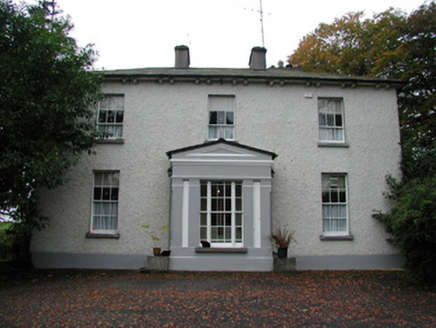 Spring LawnHouse · 1315 yd
Explorer Tom Spring Lawn in Tober wasn’t built as a priest’s house, but it swapped places with one anyway. That’s like moving into…
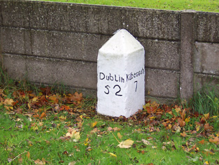 milestone/milepost1.1 mi
Explorer Tom Milestone or milepost in Legan holds a fake world record for being the most bored stone on Dublin Road since the…
 Catholic Church of the Holy FamilyChurch/chapel · 1.1 mi
Explorer Tom Holy Family Church in Tober is stuck in a parking dispute with invisible fairies. The windows have geometric patterns…
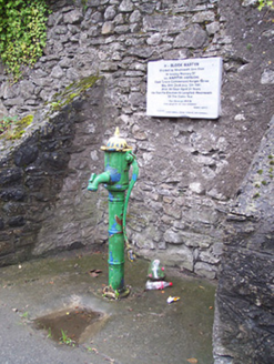 water pump1.3 mi
Explorer Tom Water pump in Killeen is just standing there, probably thinking about all the thirsty people who needed a drink back in…
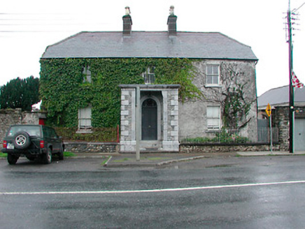 Lowerwood HouseHouse · 1.4 mi
Explorer Tom Lowerwood House in Legan is so balanced it looks like it was built by a geometry teacher on a strict diet. I bet it had…
 CastleCastle, tower house · 1.5 mi
Explorer Tom This Castle in Moate would have told Saint Patrick to stop nattering and plant something else. It was considered…
 Inscribed stone in Cartronkeel (clonlonan By.)Inscribed stone · 1.6 mi
Explorer Tom Inscribed stone in Cartronkeel would say 'I am available' in a job interview, but its Quaker background means it…
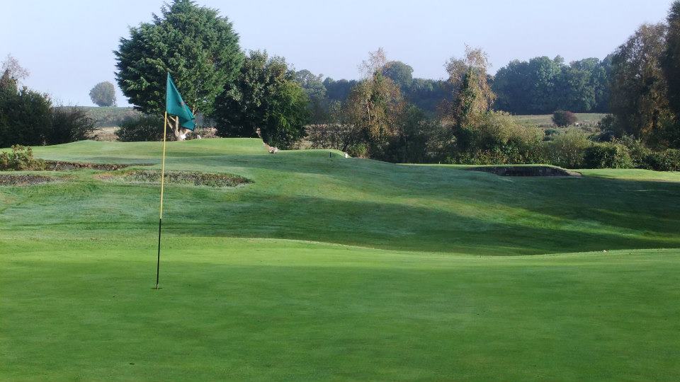 Moate Golf ClubGolf course · 1.8 mi
 Earthwork in BallyscarvanEarthwork · 1.9 mi
Explorer Tom Earthwork in Ballyscarvan would survive a zombie attack by simply rolling off its small oval platform and hiding in the…
More archaeology and monuments in County Offaly · All of County Offaly

What do you know about this place?Tap to add a comment or ask a question