What is recorded here
Two cremation pits lay hidden in pasture beside Killalee church, waiting for a road project to force them into light. Plough furrows had already cut across them, yet the western pit remained largely intact when excavated. The discovery suggests people once marked death in that soil before fields and roads changed the land again.
In pasture, to the N of the Killorglin-Killarney road and immediately E of Killalee church (KE066-008----). Archaeological test trenching of an area immediately E of the church, in advance of a proposed road realignment, revealed the presence of two cremation pits (see KE066-008002-), both of which were heavily truncated by a plough furrow (Dennehy 2002a, 146). Most of this, the westernmost pit, remained intact and was excavated in section only (ibid.).
Compiled by: Elizabeth Byrne, Ursula Egan and Sheila Ronan, Archaeological Survey Unit, University College, Cork.
Date of upload: 31 January 2011
The monument record does not grant public access. Check the route and ask the landowner before entering private land.
- What survives
- Recorded monument
Places near here
 Killalee Church (in Ruins)Church · 54 yd
 Fulacht FianFulacht fia · 765 yd
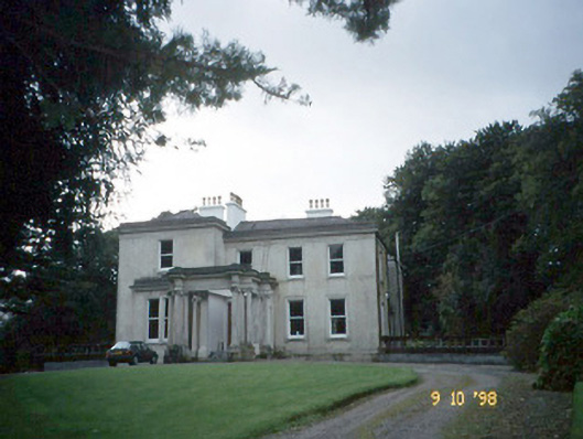 Lakeviewhouse · 939 yd
 IndicatedFairy fort / earthen ringfort · 946 yd
 CastleCastle, tower house · 1.4 mi
 Pallis Castle (Site of)Castle, tower house · 1.4 mi
 Japanese pagoda treeJapanese pagoda tree · 1.4 mi
 Dunloe Ogham StonesHeritage attraction · 1.7 mi
 Aghadoe Early Medieval Ecclesiastical SiteHeritage attraction · 1.9 mi
 Rabbit or Brown IslandIslet · 2.0 mi
 InnisfallenIsland · 2.6 mi
 European YewEuropean Yew · 2.6 mi