What is recorded here
On a gentle W-facing slope, in low-lying pasture, c. 315m to NE of the Groody River. Not depicted on OS historic mapping. Identified in 2002 during monitoring (License No. 02E1615) along the line of a drainage wayleave (Collins 2002). Excavated (License No. 02E1772) as a subrectangular-shaped pit (1m N-S; 0.7m E-W; D 0.1m) (Cummins 2002, 16-17). The sides and base were defined by bright red oxidised boulder clay suggesting in situ burning. The black, charcoal-rich fill contained a few tiny fragments of burnt bone but no artefacts. A second pit and a shallow deposit (LI005-084----) are located c. 100m to S.
Compiled by: Alison McQueen, Vera Rahilly and Caimin O’Brien
Date of upload: 26 June 2020
The monument record does not grant public access. Check the route and ask the landowner before entering private land.
- What survives
- Recorded monument
Places near here
 Mary Magdalenes WellHoly well · 335 yd
 Not shownFulacht fia · 927 yd
 Ballysimon MillsWater mill, vertical-wheeled · 1016 yd
 New CastleCastle · 1069 yd
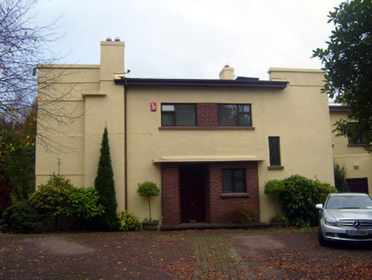 Cooltarahouse · 1078 yd
 University of Limerick FlagpostsHeritage attraction · 1417 yd
 Campus MapVisitor information · 1.1 mi
 Visitor CentreVisitor information · 1.1 mi
 Fountain SculptureHeritage attraction · 1.1 mi
 CastleCastle, unclassified · 1.2 mi
 St. Patrick's WellSpring · 1.3 mi
 Lough Derg WayWalking route · 1.5 mi