
What is recorded here
Reboge Castle stands as a rectangular earthwork south of the Reboge Water Works reservoir, preserving a tower house and hall recorded as ruinous in 1657. Thomas Arthur held the property alongside an orchard and corn mill, while Nic. Arthur occupied it earlier in the seventeenth century. The scarp and fosse still outline the entrance gap at the north-east, inviting imagination about the families who lived beneath its broken walls.
A rectangular-shaped earthwork which is hachured on the OS 25-inch map appears to mark the site of Reboge Castle. This earthwork is depicted on the revised OS 6-inch where it is shown standing immediately S of the reservoir belonging to the Reboge Water Works. The monument depicted on the OS map consists of a rectangular-shaped area (approx. dims. 45m NE-SW x 55m NW-SE) defined by a scarp and external fosse with entrance gap at NNE. William Eyre's 1752 map titled 'A colored draught of the country round Limerick' shows Reboge Castle in roughly the same location as this earthwork (Hodkinson 2007, 51). The 1654-56 Civil Survey of Limerick recorded that Thomas Arthur Alderman and late of Limerick held in Reboge a 'ruinous castle an orchard, and a water Corne Mill' (Simington 1938, 481).
Reboge Castle described by Westropp (1906-7, 82) as following; 'T. Arthur at his death owned the C[astle]. of Rebogge or Reibieg (Inq. Exch. 14). 1633 Nic. Arthur held Rebucke C[astle]. (lb., Car. I., 112). 1657 T. Arthur held a ruinous C[astle]. there (C.S. xxix., p. 32, and D.S.A., 13). Duplicate entry with LI005-064----.
See attached 1657 Down Survey map of St. Patrick's parish (NLI, MS 718) showing Reboge Castle which is depicted as a tall tower house like structure with lower two storey house or hall running off SE face of tower.
Compiled by: Caimin O'Brien
Date of upload: 08 January 2020
The monument record does not grant public access. Check the route and ask the landowner before entering private land.
- What survives
- Recorded monument
Places near here
 MillMill, corn · 89 yd
 Lough Derg WayWalking route · 583 yd
 St. Patrick's WellSpring · 1011 yd
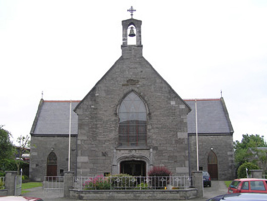 Saint Patrick's Catholic Churchchurch/chapel · 1114 yd
 Fulacht fia in Corbally (limerick Municipal Borough)Fulacht fia · 1164 yd
 Grave YardGraveyard · 1225 yd
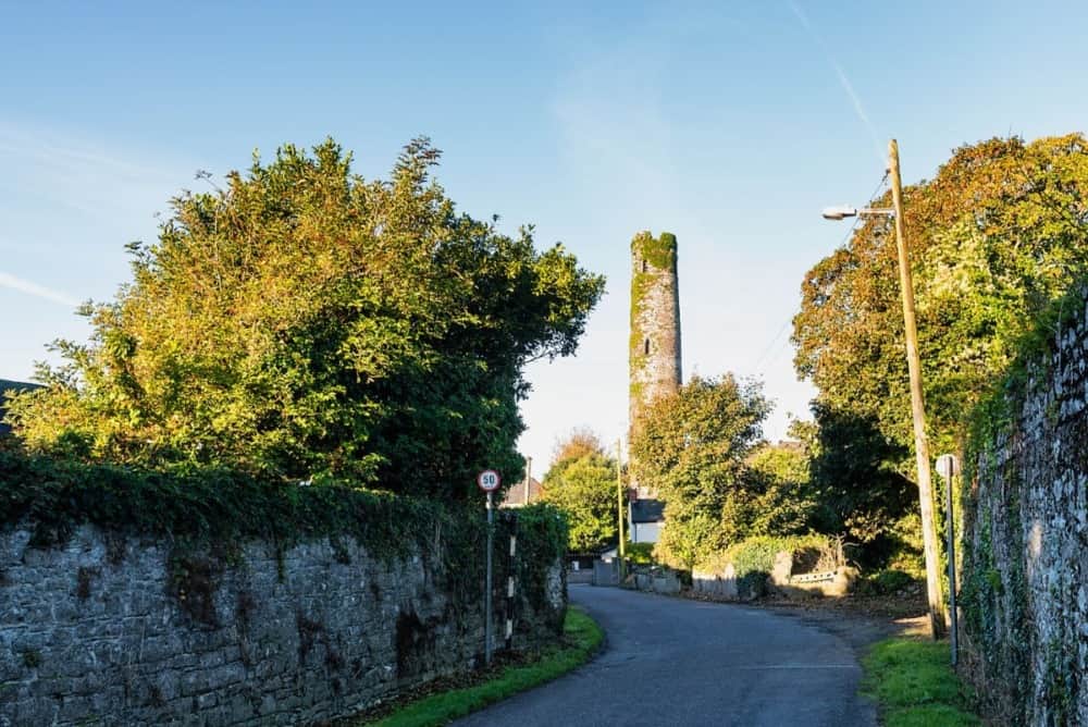 Round Tower (Site of)Castle, tower house · 1265 yd
 University of Limerick FlagpostsHeritage attraction · 1565 yd
 Grove IslandIslet · 1630 yd
 New CastleCastle · 1656 yd
 Sarsfield Memorialmonument · 1.0 mi
 Fountain SculptureHeritage attraction · 1.0 mi
Other information
Photo: Credit not shown in the picture search · Rights wording not checked; contact us if this picture should be removed