
What is recorded here
Creeran fort stands at the eastern end of a drumlin ridge in County Monaghan, preserving a thirty-six metre earthen scarp and hedge that likely marked a boundary between human fields and fairy ownership. The earth rises one point seven metres, steep enough to block careless entry but low enough to invite wondering about who lived inside or kept others out. Its incomplete circle suggests transformation rather than decay, as if the fort withdrew part of itself when human attention shifted elsewhere.
Situated at the E end of an ENE-WSW drumlin ridge. This rath is depicted as a fragment of an earthen bank NE-S-SW on the 1834 edition of the OS 6-inch map and an arc of hachures E-SW on the 1907 edition, although the line of the perimeter is continued by a field bank SW-NW on the latter. The perimeter survives E-SW (Chord 36m) as an outer scarp (H 1.7m) and hedge, with an outer fosse SE-S.
The above description is derived from the published 'Archaeological Inventory of County Monaghan' (Dublin: Stationery Office, 1986). In certain instances the entries have been revised and updated in the light of recent research.
Revised by: Michael Moore
Date of revision: 9 May 2018
The monument record does not grant public access. Check the route and ask the landowner before entering private land.
- What survives
- Recorded monument
Places near here
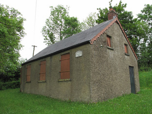 Corragarry Orange HallOrange Hall · 651 yd
 Enclosure in Drumgramph (dartree By; Aghabog Par.)Enclosure · 1164 yd
 Enclosure in DrumananEnclosure · 1300 yd
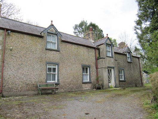 Violet Valehouse · 1.1 mi
 BarraghMountain / peak · 2.4 mi
 Tomb HillMountain / peak · 2.6 mi
 Whitelough PlantationsForest · 3.4 mi
 Church WoodForest · 3.7 mi
 Bawn in DrumsheilBawn · 3.8 mi
 Saint John's WellSpring · 4.0 mi
 Site of Old CastleCastle, unclassified · 4.9 mi
 Jaundice WellSpring · 5.9 mi
Other information
Photo: Credit not shown in the picture search · Rights wording not checked; contact us if this picture should be removed