What is recorded here
Half-submerged in Lough Melvin, Crannoge is a 15-meter stone mound sitting just below the surface. It may have been a home, a hiding place, or a marker for fishermen reading the water. The lake keeps that answer hidden beneath its green depth.
Marked as a small island described as a 'Crannoge' in italic lettering on the 1907 ed. of the OS 6-inch map and located about 40m from the S shore of Lough Melvin towards its W extremity in Ballymore townland. A circular mound of gravel and stone (diam. c. 15m) is 0.8-1.2m below the present water level, but with no visible evidence of artificial construction.
The above description is derived from 'The Archaeological Inventory of County Leitrim' compiled by Michael J. Moore (Dublin: Stationery Office, 2003). In certain instances the entries have been revised and updated in the light of recent research.
Date of upload: 23 September 2008
The monument record does not grant public access. Check the route and ask the landowner before entering private land.
- What survives
- Recorded monument
Places near here
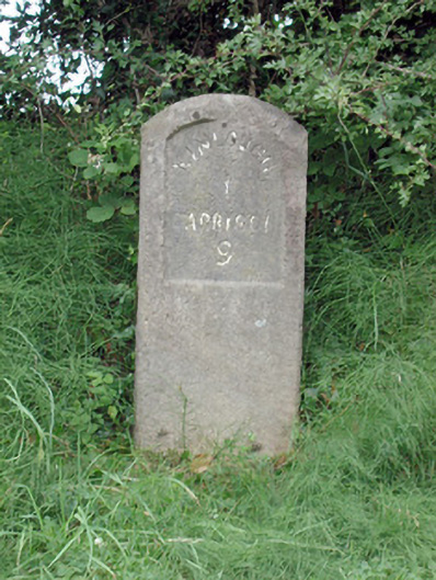 milestone/milepostmilestone/milepost · 411 yd
 Embanked enclosureFairy fort / stone ringfort · 1221 yd
 Kinlough Housecountry house · 1338 yd
 CastleCastle, tower house · 1741 yd
 IndicatedSweathouse · 1.0 mi
 Giant's GraveArchaeological place · 1.1 mi
 Lareen BayBay · 1.2 mi
 Rosfriar PointHeadland · 1.4 mi
 InisheherIslet · 1.8 mi
 Arroo MountainMountain / peak · 2.1 mi
 BundoranOfficial bathing water · 2.6 mi
 InishmeanIslet · 2.6 mi