What is recorded here
Located close to the N shore of Whitewood Lough, a subcircular lake (dims c. 580m N-S; c. 500m E-W). A small crannog was identified in 1955 when the level of the lake was lowered (NMI file). It consisted of a low mound (diam. 7m) composed largely of stones but had no other features. Its exact location is not known but it is probably still in the lake. (Eogan 1957, 54)
The above description is derived from the published 'Archaeological Inventory of County Meath' (Dublin: Stationery Office, 1987). In certain instances the entries have been revised and updated in the light of recent research.
Compiled by: Michael Moore
Date of revision: 4 September 2018
The monument record does not grant public access. Check the route and ask the landowner before entering private land.
- What survives
- Recorded monument
Places near here
 GNR Christmas TreesForest · 187 yd
 White WoodWood · 605 yd
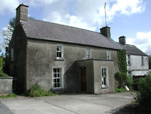 farm housefarm house · 645 yd
 Crannog in Altmush (morgallion By.),whitewoodCrannog · 668 yd
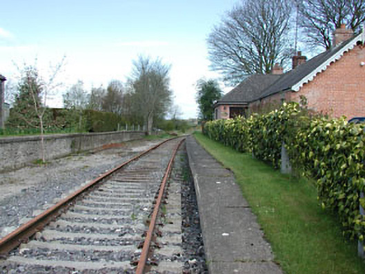 rails (section of)rails (section of) · 732 yd
 LisataggartFairy fort / earthen ringfort · 799 yd
 Gallows HillMountain / peak · 1.6 mi
 Castkecome RuinsCastle, unclassified · 2.1 mi
 MoatCastle, motte and bailey · 2.1 mi
 Nobber GreenwayMemorial · 2.3 mi
 UghtyneillMountain / peak · 3.0 mi
 Owenroe and Moynalty DrainageMemorial · 3.7 mi