What is recorded here
On a level landscape. Circular grass-covered and slightly raised mound (diam. 19m E-W; 18m N-S; H 0.3m) which is circumscribed by drains 5-8m distant W-S. Crannog (RO022-119----) is c. 170m to the E.
Compiled by: Michael Moore
Date of upload: 24 August 2010
The monument record does not grant public access. Check the route and ask the landowner before entering private land.
- What survives
- Recorded monument
Places near here
 Enclosure in LisnaneaneEnclosure · 1244 yd
 Field boundary in Ardkeenagh (roscommon By.)Field boundary · 1548 yd
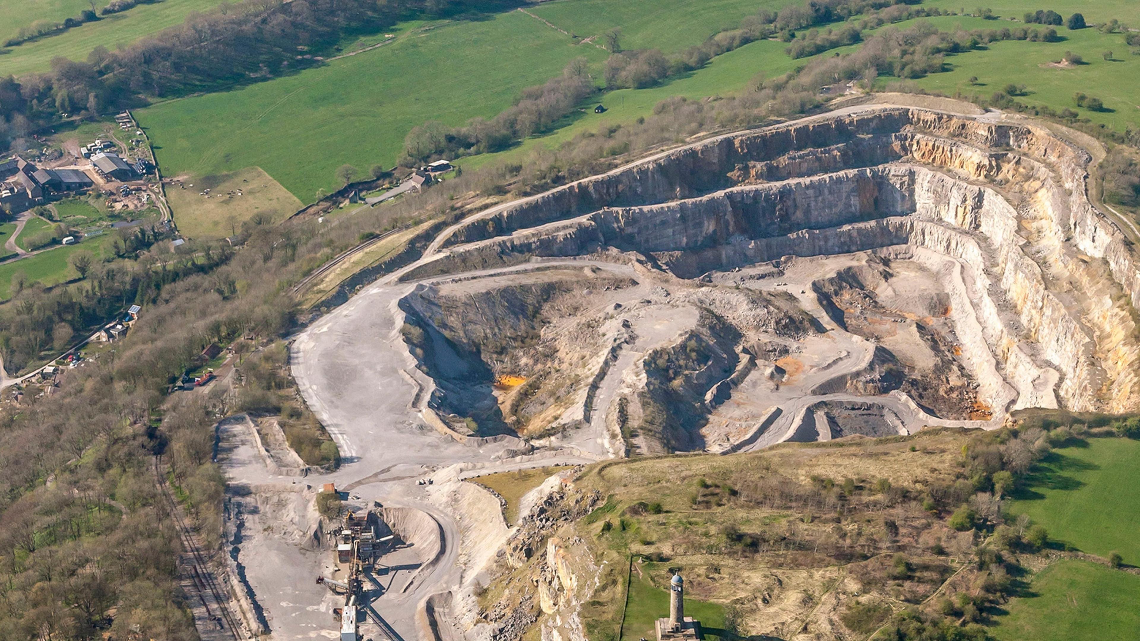 Quarry in Ardkeenagh (roscommon By.)Quarry · 1622 yd
 CastleCastle, unclassified · 1.1 mi
 Cruachan Aí Heritage CentreMuseum · 1.1 mi
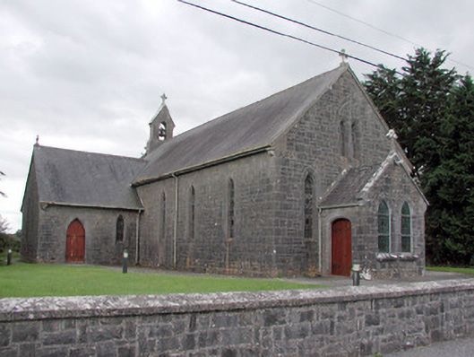 Saint Catherine's Catholic Churchchurch/chapel · 1.1 mi
 European ashEuropean ash · 1.9 mi
 ToberagullaSpring · 1.9 mi
 War of Independence Commemorative Military MemorialMemorial · 3.5 mi
 CastlerubyCastle, unclassified · 3.7 mi
 Sweet ChestnutSweet Chestnut · 5.5 mi
 Silver IslandIslet · 9.6 mi