What is recorded here
Situated in a relatively low-lying basin (diam. c. 200m) between drumlins. It is not depicted on any edition of the OS 6-inch map. It is described in 1977 (NMI file) as an oval grass-covered mound (dims 37m N-S; 20m E-W; H c.1m at S to 2m at N), but no kerbing, piles or artefacts are known from it.
The above description is derived from the published 'Archaeological Inventory of County Meath' (Dublin: Stationery Office, 1987). In certain instances the entries have been revised and updated in the light of recent research.
Compiled by: Michael Moore
Date of revision: 3 September 2018
The monument record does not grant public access. Check the route and ask the landowner before entering private land.
- What survives
- Recorded monument
Places near here
 IndicatedFairy fort / earthen ringfort · 1079 yd
 Black FortFairy fort / earthen ringfort · 1.0 mi
 CastleCastle, tower house · 1.5 mi
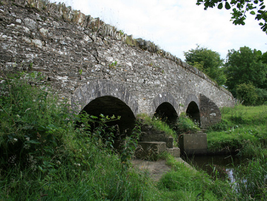 Annesbrook Bridgebridge · 1.5 mi
 UghtyneillMountain / peak · 1.5 mi
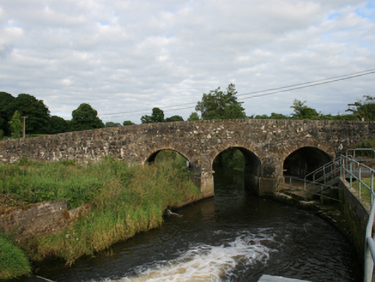 Rosehill Bridgebridge · 1.6 mi
 North Mullaghmore WoodWood · 1.9 mi
 South Mullaghmore WoodWood · 2.0 mi
 Castkecome RuinsCastle, unclassified · 2.2 mi
 Moynalty Steam Threshing MuseumMuseum · 3.0 mi
 Sally IslandIslet · 3.1 mi
 Crow IslandIslet · 3.3 mi