What is recorded here
Crannog in Parisee sits eleven metres from the shoreline, a small tree-covered island hidden in the northern arm of the S-shaped lough. It does not appear on maps, yet aerial imagery shows its round shape and the thin water line separating it from the land. Anne-Karoline Distel first identified the feature, preserving it from forgetting before anyone waded into the cold lake to test whether the trees still hold a drowned house beneath their roots.
Located towards the S end of the N arm (max. dims c. 650m N-S; c. 330m E-W) of the S-shaped Parisee Lough. This feature is not depicted on any map but a small tree-covered feature (diam. c. 10m) is visible on all the aerial imagery c. 110m from the nearest shoreline to the SE. It was first reported by Anne-Karoline Distel, and has not yet been visited.
Compiled by: Michael Moore
Date of upload: 28 October 2022
The monument record does not grant public access. Check the route and ask the landowner before entering private land.
- What survives
- Recorded monument
Places near here
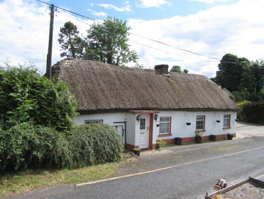 farm housefarm house · 777 yd
 Saint Patrick's Catholic Churchchurch/chapel · 854 yd
 CloverhillMountain / peak · 907 yd
 Friars Fort (Site of)Enclosure · 1.0 mi
 Friar's FortArchaeological place · 1.0 mi
 Cloverhill DemesneForest · 1.1 mi
 Drummoy Coraghaloo Derryhoo Bog WoodForest · 1.1 mi
 Grilly Castle in RuinsCastle, unclassified · 1.4 mi
 Bawn in KillyfanaBawn · 1.5 mi
 Belturbet Heritage Railway Station MuseumMuseum · 2.2 mi
 Welcome to Belturbet StationVisitor information · 2.2 mi
 Belturbet Railway Station Visitor CentreHeritage attraction · 2.2 mi