What is recorded here
Crannog in Montiaghs: an artificial island dwelling or platform, often timber and earth, built where people could control water, exclude predators and keep fire, food and tools together. The name itself does the work, pointing to a made place rather than a natural bump. Anything added beyond that is invention.
The official Northern Ireland record identifies this as CRANNOG. Recorded period: E.CHRIST.. The official map point was placed at the centre of the recorded archaeological site from the source map reference.
The monument record does not grant public access. Check the route and ask the landowner before entering private land.
- What survives
- Recorded monument
Places near here
 ENCLOSURE (O.S. memoir site, unlocated) in MontiaghsENCLOSURE (O.S. memoir site, unlocated) · 632 yd
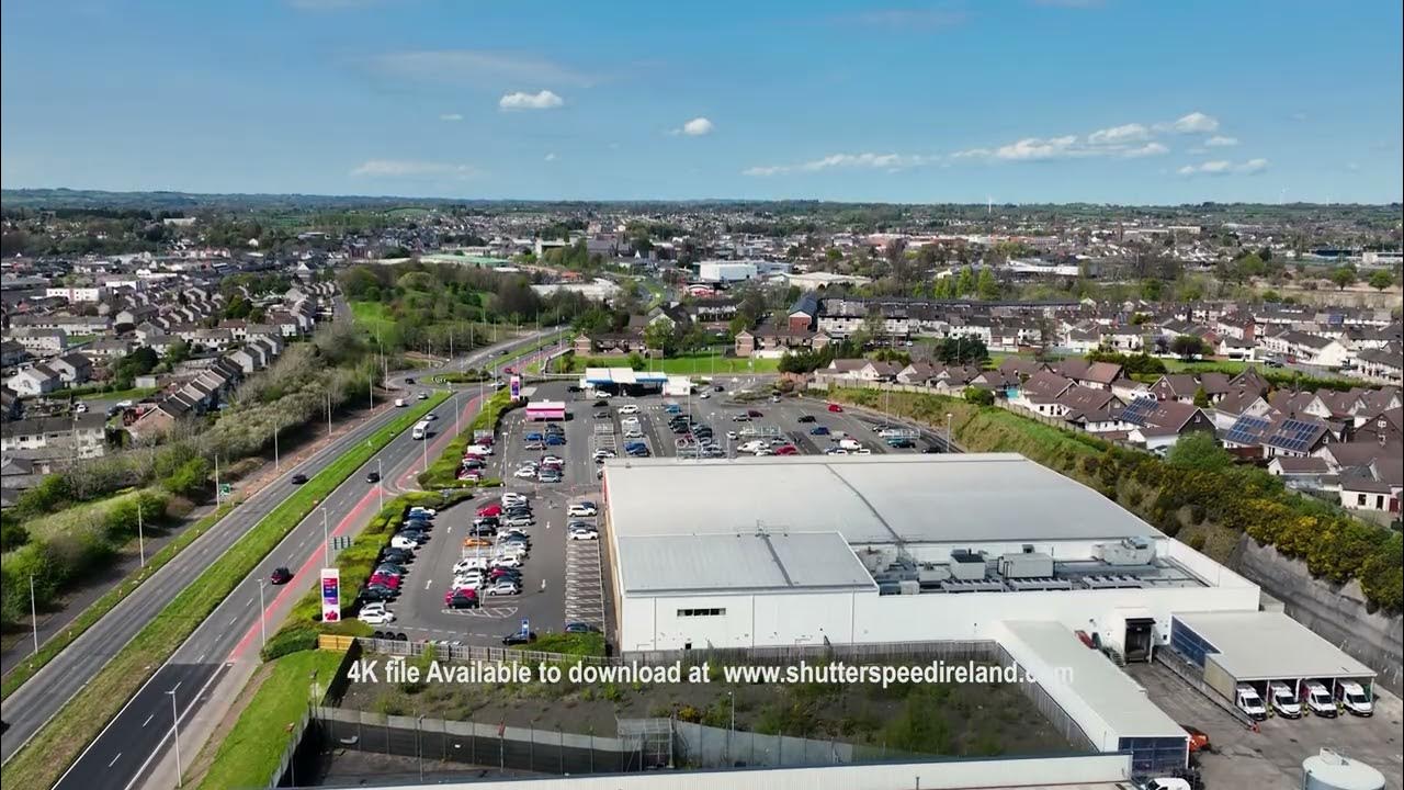 ENCLOSURE (O.S. memoir site, unlocated) in DrumaleetENCLOSURE (O.S. memoir site, unlocated) · 1535 yd
 St.Patrick's Rc ChurchChurch · 1.5 mi
 Ellis GutBay · 1.8 mi
 Lignaboy PointHeadland · 2.4 mi
 Ballinderry Moravian ChurchChurch · 2.6 mi
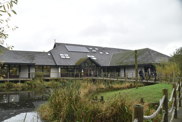 Lough Neagh Discovery CentreHeritage attraction · 3.4 mi
 C17TH CHURCH & GRAVEYARD: BALLINDERRY NEW CHURCH in BallinderryC17TH CHURCH & GRAVEYARD: BALLINDERRY NEW CHURCH · 3.8 mi
 Brownlow HouseMuseum · 4.2 mi
 Ram's IslandIslet · 4.3 mi
 CASTLE (site of): MOIRA CASTLE in RiskCASTLE (site of): MOIRA CASTLE · 4.6 mi
 CHURCH, ROUND TOWER, GRAVEYARD & CROSS-CARVED STONE: RATHMESK, TRUMMERY ROUND TOWER in TrummeryCHURCH, ROUND TOWER, GRAVEYARD & CROSS-CARVED STONE: RATHMESK, TRUMMERY ROUND TOWER · 5.3 mi