What is recorded here
This record is based on a reference in NMI Topographical Files (1934) (SMR file) to possible submerged crannogs in Mannin Lough: ‘In Mannin Louth, further down the Glore there is a least one crannoge [MA091-017----; MA092-034----] projecting above the water –but there are several submerged ones.’ The lake waters were drained in the modern era and the lake is now reduced to an expanse of wet marshy ground. The exact location of these possible crannogs has not been established.
Compiled by: Jane O’Shaughnessy
Date of upload: 24 May 2022
The monument record does not grant public access. Check the route and ask the landowner before entering private land.
- What survives
- Recorded monument
Places near here
 IndicatedFairy fort / earthen ringfort · 85 yd
 Mannin Housefarm house · 668 yd
 Promontory fortPromontory fort, inland · 756 yd
 CastleCastle, unclassified · 779 yd
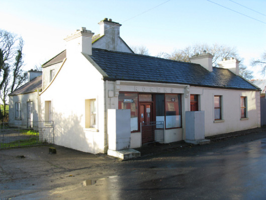 Rogershouse · 1556 yd
 Rath Castle in ruinsCastle, tower house · 1.8 mi
 East Mayo Brigade MonumentMemorial · 3.2 mi
 Knock MuseumMuseum · 3.8 mi
 Knock ShrineHeritage attraction · 3.8 mi
 I'll Send You The FareMemorial · 7.0 mi
 Oak WoodForest · 11 mi
 Geoffrey's WoodForest · 11 mi