What is recorded here
Crannog in Lough Ramor is a very small circular island, about sixteen metres across, sitting just twenty metres from Knockatemple Island and one hundred and thirty metres from the Cavan shoreline. It appeared on Ordnance Survey maps in 1836 and 1876, marking a place small enough to overlook but distinct enough to record. The water likely closed around it during storms, cutting off escape and forcing whoever lived there to watch the sky rather than the land.
Marked on OS 1836 and 1876 eds. Very small circular island (diam. c. 16m) in Lough Ramor, just 20m NNW of 'Knockatemple Island' and 130m from the shoreline.
The above description is derived from the published 'Archaeological Inventory of County Cavan' (Dublin: Stationery Office, 1995). In certain instances the entries have been revised and updated in the light of recent research.
Date of upload/revision: 22 December 2008
The monument record does not grant public access. Check the route and ask the landowner before entering private land.
- What survives
- Recorded monument
Places near here
 Cow and Knockatemple IslandIslet · 81 yd
 Knockatemple WoodlandWood · 298 yd
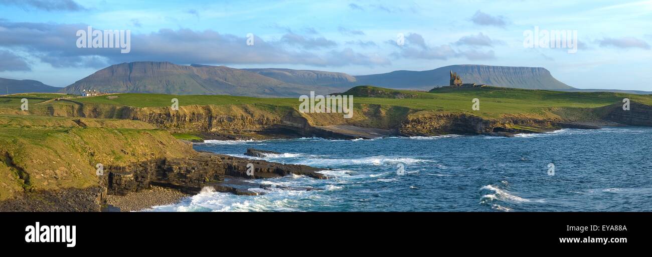 Scrabby IslandIslet · 456 yd
 MoatCastle, motte and bailey · 901 yd
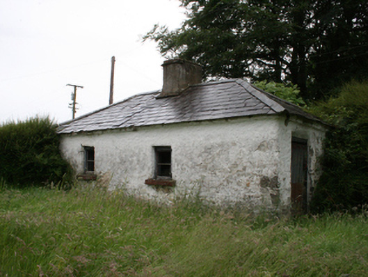 Lake View Househouse · 1009 yd
 The Lady's CottageRuins · 1294 yd
 IndicatedFairy fort / stone ringfort · 1614 yd
 Deerpark ForestForest · 1760 yd
 Mass-rock in KnocknagartanMass-rock · 1.1 mi
 Welcome to VirginiaVisitor information · 1.3 mi
 Virginia Handball ClubMemorial · 1.4 mi
 Ramor Aontaithe C.L.G. Dolan ParkMemorial · 1.4 mi