What is recorded here
Described in 1989 by Raghnall O'Floinn of the National Museum of Ireland as 'In the North east corner of the lake, a crannog marked above water only by a single bush.The surface of the crannog was barely 20cm. above lake level. The centre appeared to have collapsed, leaving a rim of stones and boulders with timbers projecting above hem here and there.The circular crannog measured at least 15m in diameter with the remains of two parallel and closely set rows of plank palisading at the E side. An outer ring of posts was visible but not continuous. On the W side of the Crannog, two quern fragments, one upper and one lower stone, were visible in situ.There is at least one other crannog (LE029-011) on the NE shore of the lake' (the National Museum of Ireland File 1989, IA/201/89).
The monument record does not grant public access. Check the route and ask the landowner before entering private land.
- What survives
- Recorded monument
Places near here
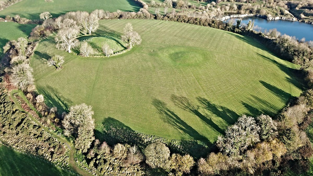 Fairy fort / earthen ringfort in Aghalough (carrigallen By., Aghavas Ed)Fairy fort / earthen ringfort · 587 yd
 Holy well in KillyfeaHoly well · 753 yd
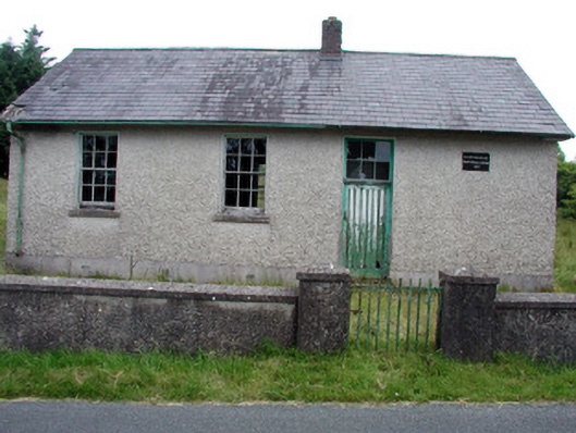 Gortachoosh National Schoolschool · 1.9 mi
 Saint Columba's Church (Drumreilly)church/chapel · 2.0 mi
 Swan Island pet farmHeritage attraction · 3.6 mi
 King's GraveArchaeological place · 3.9 mi
 European YewEuropean Yew · 4.1 mi
 Crane IslandIslet · 4.2 mi
 BatteryBawn · 4.2 mi
 Sessile OakSessile Oak · 4.2 mi
 DrummuckerMountain / peak · 4.3 mi
 Giant's GraveArchaeological place · 4.3 mi