What is recorded here
Crannog in Laheen (carrigallen By.) stands as a lost circular island inside a shrinking lough, its wooden frame still buried beneath bog and water. Oliver Davies described dense growth, radial beams and vertical piles in the 1940s, yet the lake has since retreated and the crannog itself has vanished from sight. What remains is a hollow place where human craft and wet earth have tangled together, keeping the shape of a home that no longer shows its edge.
Located in a boggy hollow that was part of the original Laheen Lough. This is depicted as an oval lake or boggy area (dims c. 700m NE-SW: c. 300m NNW-SSE) on the 1835 edition of the OS 6-inch map but the lake is now greatly reduced (dims c. 550m NE-SW; c. 250m NNW-SSE). No trace of the crannog as described in the 1940s by Oliver Davies (SMR file) as a ‘small circular island 20 yards (c. 18m) across, densely overgrown. Close to the shore are many vertical piles about 2 inches (c. 5cm) across, a few larger, and there are a few farther into the structure. Above these are a few beams set radially, and another radial floor below; there is a perhaps a still lower floor set on chords and more mostly fallen boughs rather than logs of the crannog. On the crannog shore is sand and small stones, and some larger stones on the edge of the shore and below the water-level. The island rises 2.5 feet (c. 0.75m) above the water level.’ The location is uncertain and it might be confused with (LE030-016----) but there is no evidence of a crannog at the location provided in the 1940s. (Davies 1942-3, 19)
Compiled by: Michael Moore
Date of upload: 10 October 2019
The monument record does not grant public access. Check the route and ask the landowner before entering private land.
- What survives
- Recorded monument
Places near here
 European BeechEuropean Beech · 458 yd
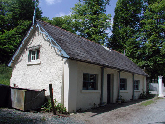 Killegar Housegate lodge · 509 yd
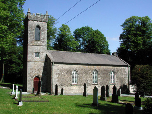 Killegar Church (Carrigallen)church/chapel · 527 yd
 Killygar WoodForest · 851 yd
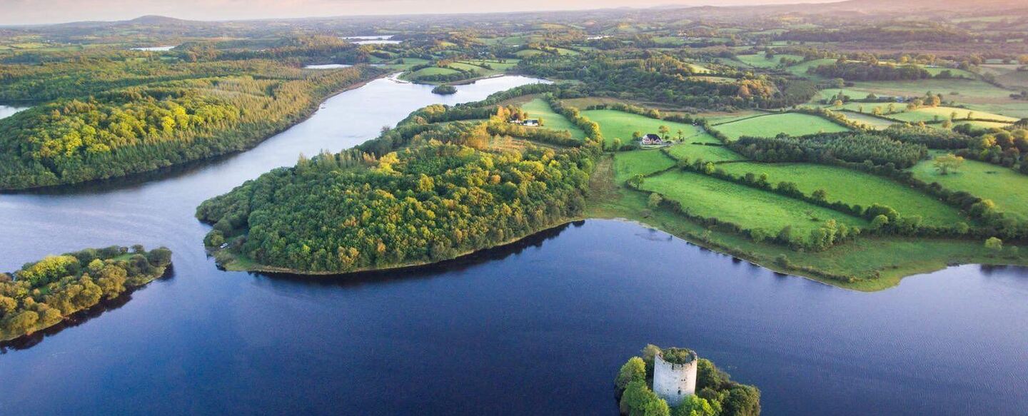 IndicatedFairy fort / ringfort · 1.2 mi
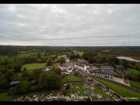 Enclosure in DrumhalryEnclosure · 1.5 mi
 DrummuckerMountain / peak · 2.1 mi
 Evlagh MoreMountain / peak · 2.4 mi
 King's GraveArchaeological place · 2.5 mi
 Killeshandra Irish Countrywomen's Association 70th AnniversaryMemorial · 3.0 mi
 Crane IslandIslet · 4.4 mi
 BatteryBawn · 4.4 mi