What is recorded here
Located on a marshy promontory on the NE shore of Johnstown Lough, a small lake in
the Dysart Lake complex along the River Deel. This crannóg was described by O'Sullivan (2004, 55-6) as following; 'a circular mound (diam. 23m; H 0.8m) of stone, earth, sand and charcoal, on the marshy eastern shore of Johnstown Lough. It is heavily overgrown by alders, willows and rushes today and is totally invisible. The middle of the crannóg was constructed of small stones, within a perimeter of clay and soft, sandy silt. There were vertical wooden posts (birch and alder, 10-5cm diameter, spaced at 80cm intervals), on the SW and S edges, These were in two concentric rings, with the two rows 2-2.5m apart. There was no trace of horizontal planking The mound was probably placed directly on soft silt and ringed with posts. It is situated on a marshy promontory in the lake, being surrounded by deep water to N, W and SW. It is separated from the immediately adjacent dry-land to the E and NE by a marshy strip 10-15m wide'.
Compiled by: Caimin O'Brien based on details provided by Aidan O'Sullivan.
Date of upload: 6 March 2017
The monument record does not grant public access. Check the route and ask the landowner before entering private land.
- What survives
- Recorded monument
Places near here
 Crannog in DryderstownCrannog · 1182 yd
 Settlement desertedSettlement deserted, medieval · 1751 yd
 Dysart TalyChurch · 1.0 mi
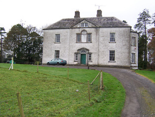 Dysart Housecountry house · 1.2 mi
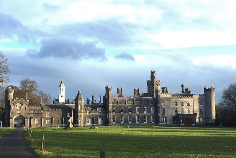 Mulchans Castle in ruinsCastle, tower house · 1.4 mi
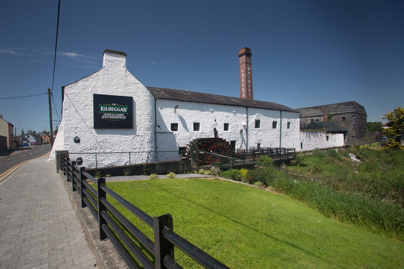 OutlinedCastle, unclassified · 1.6 mi
 GinkgoGinkgo · 2.5 mi
 The FurzeForest · 3.1 mi
 Castle IslandIslet · 4.7 mi
 The Sloe HillMountain / peak · 5.0 mi
 South East GateHeritage attraction · 5.8 mi
 Seafin HillMountain / peak · 6.4 mi