
What is recorded here
Located at the S end of Lough Analla, the middle lake of the Dysart Lakes group on the
River Deel. This crannóg was described by O'Sullivan (2004, 56-8) as following; 'a low, circular, palisaded mound (diam. 16m N-S; H 3.4m/0.4m above water level), situated 30m N of S shoreline. It is located in fairly deep water, which is 2-3m depth, 3m out from the site. The crannóg was built on a natural sandbank that extends to S and SE of the island for some 3-5m as marshy ground before shelving off into deep water. The crannóg is low, level with gradually sloping sides, with an even profile, but is slightly higher to E. It has a palisade on the NW side, where there are vertical oak posts and stakes (6- 16cm diameter, 60cm in height) visible, situated 30cm out from the edge of the island. The vertical posts appear to be in two rows, 10-20cm apart (possibly for post-and-wattle). There are also vertical oak posts in the internal surface, although these do not make a clear house plan. Between the palisade posts, the horizontal, radially laid beams of the primary construction phase of the crannóg are visible'.
See attached plan of monument surveyed and drawn by the ASI.
Compiled by: Caimin O'Brien based on details provided by Aidan O'Sullivan.
Date of upload: 6 March 2017
The monument record does not grant public access. Check the route and ask the landowner before entering private land.
- What survives
- Recorded monument
Places near here
 Dysart TalyChurch · 762 yd
 Hut site in ClonynHut site · 1435 yd
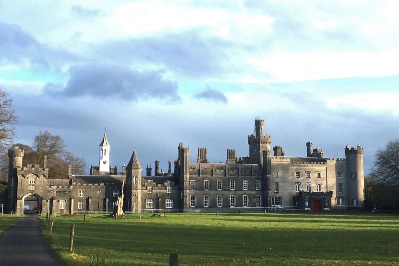 Mulchans Castle in ruinsCastle, tower house · 1647 yd
 Ecclesiastical enclosure in KillulaghEcclesiastical enclosure · 1.0 mi
 Church in ruinsChurch · 1.0 mi
 Bawn in Williamstown (briscoe)Bawn · 1.5 mi
 GinkgoGinkgo · 2.3 mi
 The FurzeForest · 3.4 mi
 Castle IslandIslet · 5.4 mi
 Seafin HillMountain / peak · 6.8 mi
 Slieve GullionMountain / peak · 7.1 mi
 Zip WireHeritage attraction · 9.0 mi
Other information
Photo: Credit not shown in the picture search · Rights wording not checked; contact us if this picture should be removed