
What is recorded here
According to the OS Field Name Books of 1838-40 there was 'a very ancient church (WM013-030) and graveyard (WM013-030001-) in this townland which are now almost effaced' (OS Name Book no. 32, 5). Described in 1980 as 'A low rounded rise in pasture land. No remains of any features of archaeological significance' (SMR file). Depicted as a grove of trees on the 1838 edition of the OS 6-inch map.
Complied by Caimin O'Brien
Date of revision/upload : 27 April 2010
The monument record does not grant public access. Check the route and ask the landowner before entering private land.
- What survives
- Recorded monument
Places near here
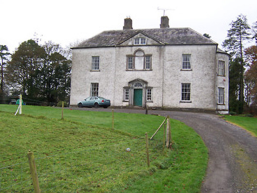 Dysart Housecountry house · 253 yd
 Crannog in DryderstownCrannog · 762 yd
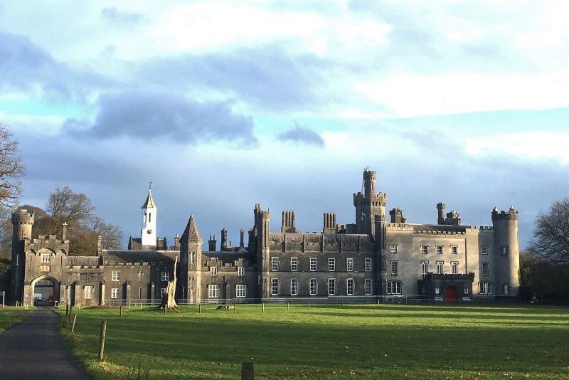 Mulchans Castle in ruinsCastle, tower house · 936 yd
 Ecclesiastical enclosure in KillulaghEcclesiastical enclosure · 1279 yd
 Church in ruinsChurch · 1291 yd
 CastleCastle, ringwork · 1667 yd
 GinkgoGinkgo · 2.0 mi
 The FurzeForest · 3.9 mi
 Castle IslandIslet · 5.8 mi
 Seafin HillMountain / peak · 7.3 mi
 Slieve GullionMountain / peak · 7.5 mi
 Zip WireHeritage attraction · 9.5 mi
Other information
Photo: Credit not shown in the picture search · Rights wording not checked; contact us if this picture should be removed