What is recorded here
Not marked on the 1841 or 1908 editions of the OS 6-inch maps. Revealed in 1860 when lowering the water-level of Grantstown Lough. It is defined by pointed stakes. Further stakes, grooved and nailed together, were laid horizontally across the center. Finds included an iron clasp, two nails with large heads, an arrow or spear of charred wood, a polished piece of bone, a large amount of animal bones and charred timer, a lump of gypsum and a rude box containing two small bones (Wood-Martin 1886, 208). The remains of this crannog (approx. dims. 13m N-S ; 12m E-W) can be seen clearly on aerial photographs which show this island located on Granstown Lake, 44m northeast of the shoreline (OSI aerial photos 2005-). A small notch on the west side of the island may be a small jetty or place to land a boat.
The above description is derived from the published 'Archaeological Inventory of County Laois' (Dublin Stationery Office, 1995) compiled by P. David Sweetman, Olive Alcock and Bernie Moran. In certain instances the entries have been revised and updated in the light of recent research.
Date of upload: 17 December 2007
The monument record does not grant public access. Check the route and ask the landowner before entering private land.
- What survives
- Recorded monument
Places near here
 CastleCastle, tower house · 424 yd
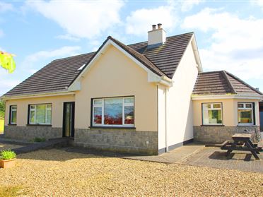 Enclosure in Bordwell LittleEnclosure · 1493 yd
 Enclosure in Oldglass (detached Portion)Enclosure · 1654 yd
 Bordwell Church (in Ruins)Church · 1742 yd
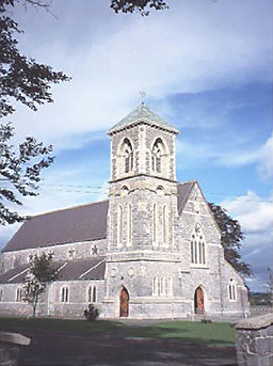 Saint Canice's Catholic Churchchurch/chapel · 1.1 mi
 Big WoodWood · 1.3 mi
 European PearEuropean Pear · 1.5 mi
 Middlemount MoatCastle, motte and bailey · 1.7 mi
 Cnoc SeanrathaMemorial · 6.1 mi
 Anker's IslandIsland · 7.4 mi
 DelaneyMemorial · 8.6 mi
 Enclosure in OldglassEnclosure · 1.5 mi