What is recorded here
Crannog in Derrycassan is a submerged circular dwelling edge, twenty-five to thirty metres across, hidden beneath reeds and scrub where Derrycassan meets Coologe Lough. Vertical timbers with pointed ends and possible mortices still stand beside horizontal beams, stone and peat, waiting for water or rain to reveal them again. It is not a ruin displayed for praise but a lived boundary, marking the place where human hands shaped the lake shore before forgetting erased the name of its keeper.
Situated in a reed-and-scrub-covered area on what is presently the N shore of a channel linking Derrycassan and Coologe Loughs. During the cleaning of a drain in 1992, a number of vertical timbers were revealed some of which were pointed, while others had possible mortices. Nearby there were horizontal timbers and deposits of stone and peat. It is believed (OPW 1992) that the remains represent the edge of a circular crannóg (diam. 25m-30m).
The above description is derived from the published 'Archaeological Inventory of County Cavan' (Dublin: Stationery Office, 1995). In certain instances the entries have been revised and updated in the light of recent research.
Date of upload/revision: 22 December 2008
The monument record does not grant public access. Check the route and ask the landowner before entering private land.
- What survives
- Recorded monument
Places near here
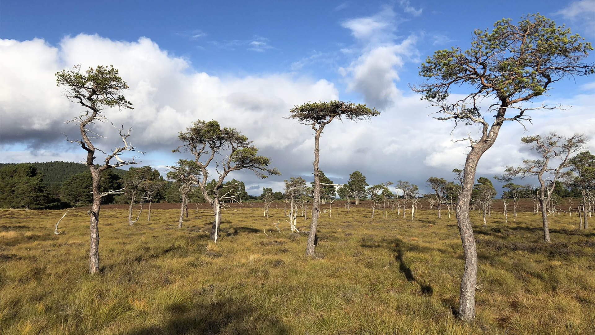 Derrycassan Bog WoodlandWood · 659 yd
 DerrynigginMountain / peak · 1641 yd
 Ballyconnell Log CabinsForest · 1.2 mi
 ToberlyanHoly well · 1.2 mi
 IndicatedCastle, tower house · 1.3 mi
 Derryragh FortHilltop enclosure · 1.3 mi
 CastleCastle, ringwork · 1.5 mi
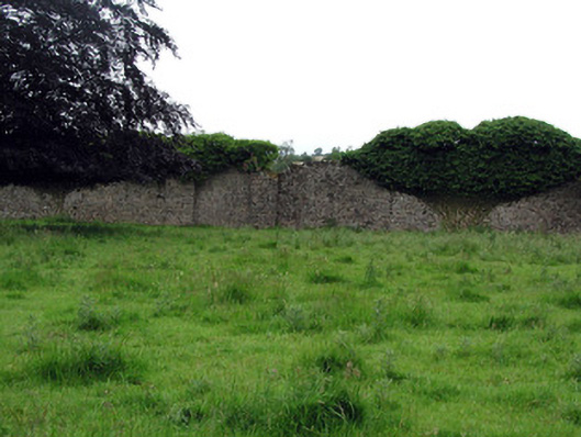 Woodfordwalled garden · 1.5 mi
 Moyagh ChurchChurch · 1.6 mi
 Giants GraveArchaeological place · 1.6 mi
 Bellaheady MountainMountain / peak · 2.1 mi
 Killycluggin StoneVisitor information · 2.2 mi