What is recorded here
In Cornagall Lough, c. 45m from the shoreline. First identified in 1878 and then described as an artificial island almost perfectly circular in form, and measuring about thirty yards in diameter. Upon the island were rows of oaken stakes. Portion of a dug-out canoe, two adzes, a hammer, a chisel, a wooden handle and a thin knife-like piece of iron, a whet stone and an oak implement were discovered at the site.
The above description is derived from the published 'Archaeological Inventory of County Cavan' (Dublin: Stationery Office, 1995). In certain instances the entries have been revised and updated in the light of recent research.
Date of upload/revision: 22 December 2008
The monument record does not grant public access. Check the route and ask the landowner before entering private land.
- What survives
- Recorded monument
Places near here
 IndicatedFairy fort / earthen ringfort · 769 yd
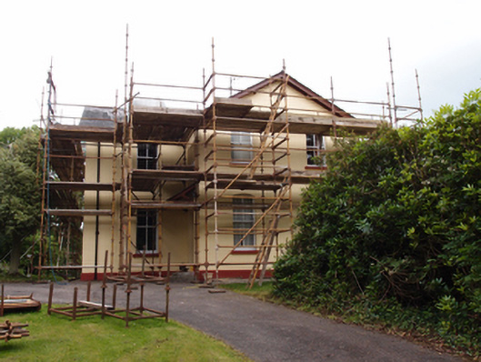 Drung Rectoryrectory/glebe/vicarage/curate's house · 1046 yd
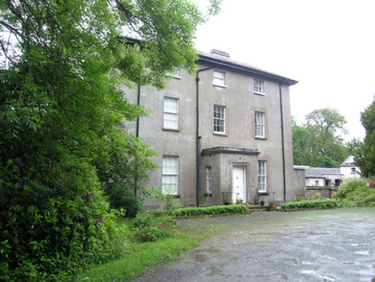 Corravahan Houserectory/glebe/vicarage/curate's house · 1189 yd
 Font in Lislea (drung Ed)Font · 1339 yd
 Castleterra ForestForest · 1.7 mi
 Shantemon ForestForest · 1.8 mi
 CastleCastle, unclassified · 1.8 mi
 CorgarveMountain / peak · 2.1 mi
 Giant's GraveArchaeological place · 2.6 mi
 Foundation Stone Blessed by Pope John Paul II 1979Memorial · 2.8 mi
 Garden IsleIslet · 2.9 mi
 Drumcarn Ho.Castle, unclassified · 2.9 mi