
What is recorded here
From the National Monuments Service (Archaeological Survey of Ireland) record ME005-016
Places near here
Photo credits
- Maker not stated on source page, www.irishamericanmom.com
- Maker not stated on source page, www.flickr.com
- Maker not stated on source page, en.wikipedia.org
- Daragh Mc Kenna, Wikimedia Commons · CC BY-SA 4.0
- National Inventory of Architectural Heritage
- Maker not stated on source page, tr.pinterest.com
- Maker not stated on source page, pixabay.com
- Kmcnamee, Wikimedia Commons · CC BY-SA 4.0
 Fairy fort / earthen ringfort in CooleFairy fort / earthen ringfort · 713 yd
Explorer Tom Fairy fort / earthen ringfort in Coole has a long list of former names and keeps changing them every time it gets…
 Fairy fort / earthen ringfort in RatheFairy fort / earthen ringfort · 824 yd
Explorer Tom Fairy fort / earthen ringfort in Rathe sits on top of a little hill like it’s running for local office. It’s got no…
 Enclosure in CooleEnclosure · 1169 yd
Explorer Tom Enclosure in Coole is hiding from the postman again behind its deep ditch. It thinks nobody will find it because it’s…
 bridge1621 yd
Explorer Tom This bridge in Eden knows exactly how to look important while sitting next to a park bench. I think it’s got a secret…
 Historic buildingOfficially recorded historic building · 1698 yd
Explorer Tom Historic building in Eden is actually a cast water pump sitting at the south end of the village green. It has banding…
 Catholic Church of the Sacred HeartChurch/chapel · 1726 yd
Explorer Tom Catholic Church of the Sacred Heart in Eden is guarding a secret: a curse on anyone who forgets to wave at the spire.…
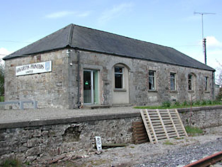 Kilmainham Wood Railway StationStore/warehouse · 1741 yd
Explorer Tom Kilmainham Wood Railway Station is basically a goods shed that’s been waiting for a delivery since the 1870s and isn’t…
 Bullaun stone in EdenBullaun stone · 1743 yd
Explorer Tom Bullaun stone in Eden whispers tales of a hidden tunnel straight to the pub. The basin looks like it was waiting for a…
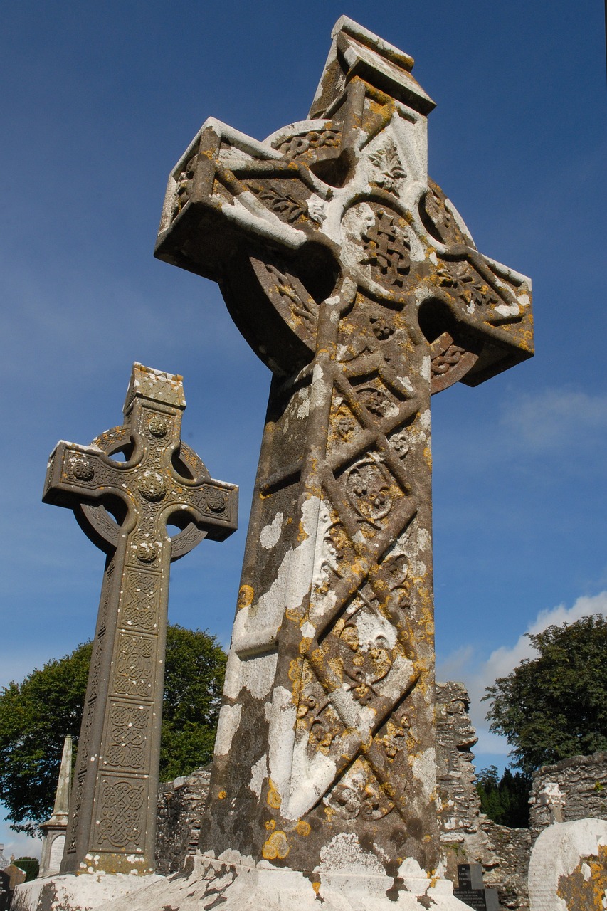 Stone CrossesCross · 1.0 mi
Explorer Tom Stone Crosses in Whitewood smell like old cabbage and regret, according to me. They mark graves from 1798 but look more…
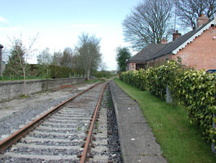 rails (section of)1.0 mi
Explorer Tom Rails in Boynagh are just lying there in fair condition, looking all smug because they’ve stopped moving for years now.…
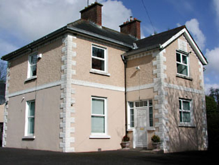 presbytery/parochial/curate's house1.0 mi
Explorer Tom Presbytery in Eden County Meath has render quoins and string courses that make it look like it’s wearing a very fancy…
 Kilmainhamwood GAA pitchGAA ground · 1.2 mi
More archaeology and monuments in County Meath · All of County Meath

What do you know about this place?Tap to add a comment or ask a question