
What is recorded here
Situated on a low-lying landscape between drumlins with a small SE-NW steam from Curragh Lough c. 50m to the NE. A circular earthwork is depicted here on a revision of the 1834 edition of the OS 6-inch map that is dated 1858, which is now a clump of trees. Curragh Lough would have been a large lake (dims c. 500m NW-SE; c. 250m NE-SW) but is now reduced to a small oval of open water c. 100m to the ESE.
The above description is derived from the published 'Archaeological Inventory of County Monaghan' (Dublin: Stationery Office, 1986). In certain instances the entries have been revised and updated in the light of recent research.
Revised by: Michael Moore
Date of revision: 8 May 2018
The monument record does not grant public access. Check the route and ask the landowner before entering private land.
- What survives
- Recorded monument
Places near here
 SandhillsMountain / peak · 475 yd
 Worm Ditch or Black Pigs RaceArchaeological place · 1051 yd
 Holy WellHoly well · 1265 yd
 CallowhillMountain / peak · 1.0 mi
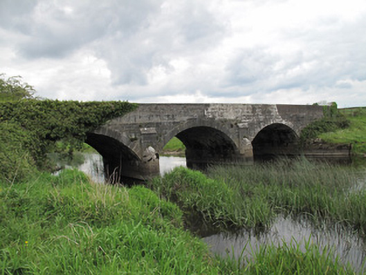 Annaghmullin Bridgebridge · 1.1 mi
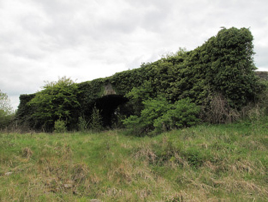 bridgebridge · 1.2 mi
 The Dark WoodWood · 1.7 mi
 European YewEuropean Yew · 1.7 mi
 RuinsHouse, fortified house · 1.7 mi
 Bawn in KillyfanaBawn · 2.9 mi
 Ulster Canal Stores Visitor CentreHeritage attraction · 4.5 mi
 The Cassandra Hand CentreMuseum · 4.7 mi
Other information
Photo: Credit not shown in the picture search · Rights wording not checked; contact us if this picture should be removed