What is recorded here
On a low ridge at the confluence of two rivers; the surrounding land is now totally dry due to drainage. Marked on 3rd ed. of OS 6-inch map (1930) as a small oval mound (c. 20m by c. 15m). What is visible is a low poorly preserved sod-covered subcircular mound (N-S 18.2m, E-W 17.7m, H 0.9m). II - North Galway'.
From the National Monuments Service (Archaeological Survey of Ireland) record GA043-073
Places near here
Photo credits
- Mike Searle, Geograph · CC BY-SA 2.0
- National Inventory of Architectural Heritage
- Mike Searle, Wikimedia Commons · CC BY-SA 2.0
- ClintMalpaso, Wikimedia Commons · CC BY-SA 3.0
- Enda O Flaherty, Geograph · CC BY-SA 2.0
- Willow, Wikimedia Commons · CC BY 2.5
- Wanfried-Dublin, Wikimedia Commons · CC BY-SA 3.0
- Rick Crowley, Wikimedia Commons · CC BY-SA 2.0
- Maigheach-gheal, Geograph · CC BY-SA 2.0
- DeeEmm, Geograph · CC BY-SA 2.0
 Ballinderry CastleCastle, tower house · 2.3 mi
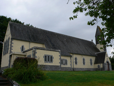 Catholic Church of the Sacred HeartChurch/chapel · 2.4 mi
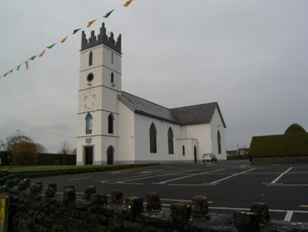 Saint Colman's Catholic ChurchChurch/chapel · 2.6 mi
_(geograph_1953877).jpg/250px-Castles_of_Connacht-_Corrofin,_Galway_(2)_(geograph_1953877).jpg "Photo: Mike Searle, Wikimedia Commons · CC BY-SA 2.0") Corrofin CastleCastle · 2.7 mi
Corrofin CastleCastle · 2.7 mi Part of St. Jarlaths CrossCross, High cross · 3.1 mi
 KnockmaaWood · 3.1 mi
 St. Marys CathedralCathedral · 3.1 mi
 European ash4.6 mi
 Kilcoona Round TowerHeritage attraction · 6.3 mi
 Inis an GhaillIsland · 18 mi
 Owenriff WayWalking route · 18 mi
 Silver StrandBeach / strand · 18 mi
More archaeology and monuments in County Galway · All of County Galway

What do you know about this place?Tap to add a comment or ask a question