What is recorded here
Close to the N shore of a bay (dims c. 150m N-S; c. 130m E-W) on the E shore of the central part of Lough Rinn (dims c. 3.8km N-S; c. 200-400m E-W). This may be the site close to which an O'Conor king was killed by an arrow in 1345 (ALC vol. 1, 647-9). The island is depicted on an estate map (Wogan 1750, 22), and it is described as ‘Crane Island’ on later OS maps. In 1847, when the lake levels were lowered, two dug-out canoes and a manacle were found at a crannog, probably this one, and a bronze arrow and spearhead were found in the vicinity of the same site (Wood-Martin 1886, 242). The crannog is an overgrown circular cairn of stones (diam. of base 26m; diam. of top 15m; H 2m) with timber beams radiating outwards from the base.
The above description is derived from 'The Archaeological Inventory of County Leitrim' compiled by Michael J. Moore (Dublin: Stationery Office, 2003). In certain instances the entries have been revised and updated in the light of recent research.
Compiled by: Michael Moore
Date of upload: 23 September 2008
Amended: 7 January 2020
The monument record does not grant public access. Check the route and ask the landowner before entering private land.
- What survives
- Recorded monument
Places near here
 Holm OakHolm Oak · 156 yd
 Western HemlockWestern Hemlock · 158 yd
 CastleCastle, tower house · 179 yd
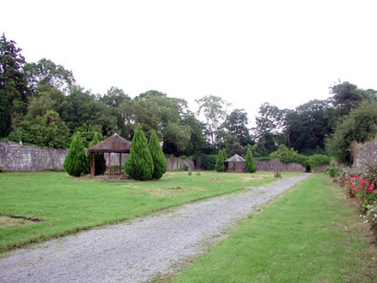 Lough Rynn Housewalled garden · 337 yd
 Druid's AltarArchaeological place · 398 yd
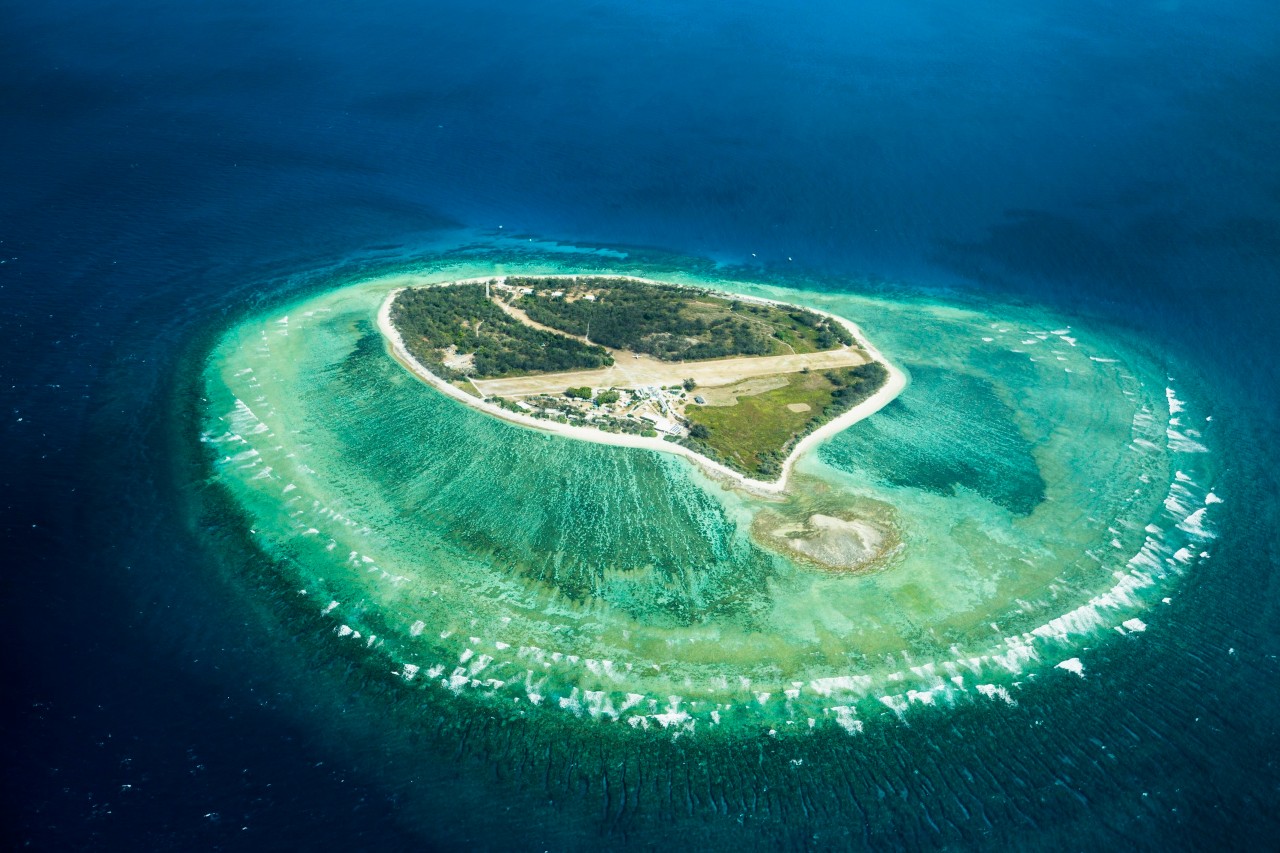 Lady Elizabeth's IslandIslet · 654 yd
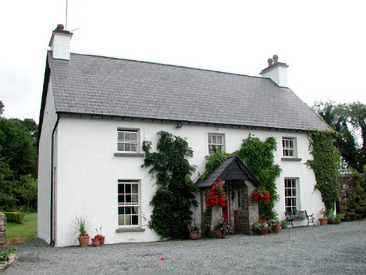 Clooncoe Househouse · 1030 yd
 Duck IslandIslet · 1062 yd
 Holy WellHoly well · 1292 yd
 Giant's GraveArchaeological place · 1.4 mi
 OratoryCastle, tower house · 1.6 mi
 Turlough O'Carolan MonumentHeritage attraction · 2.3 mi