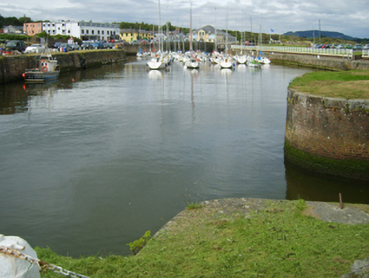
What is recorded here
Harbour basin, designed 1823; begun 1824, on an L-shaped plan. Completed, 1834-47, producing present composition. Lichen-spotted coursed rubble stone battered walls with benchmark-inscribed cut-granite coping. Set extending into Saint George's Channel.
A harbour basin completed under the direction of Francis Giles (1787-1847) representing an important component of the built heritage of north County Wexford. NOTE: Although the commercial potential of the harbour was never fully realised 'in consequence of the shifting of the sands and accumulations of silt brought down by the Owenavorragh River', conditions which had impeded progress on earlier designs (1819; 1823) by Alexander Nimmo (1783-1832), the harbour ultimately benefitted 'the fishermen of the coast [and] this, with…the expenditure caused by the influx of bathers in the summer season, induced the creation of the village of Courtown' (Hickey alias Doyle 1868, 153-4).
From the Buildings of Ireland (National Inventory of Architectural Heritage) record 15611016
This does not grant access. Most recorded buildings are privately owned; view them only from public ground unless the owner allows entry.
Places near here
Photo credits
- National Inventory of Architectural Heritage
- Lucarelli, Wikimedia Commons · CC BY-SA 3.0
- Smirkybec, Wikimedia Commons · CC BY-SA 4.0
- Ryanforsyth9, Wikimedia Commons · CC BY-SA 4.0
- Sarah777 at English Wikipedia, Wikimedia Commons · Public domain
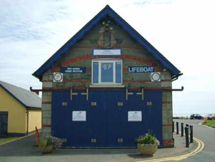 lifeboat station75 yd
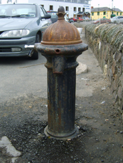 water pump83 ydMaritime MonumentMonument · 157 ydCourtown Amusement CentreHeritage attraction · 341 ydCourtown WoodsWood · 1046 ydHigh Cross of KilbrideMonument · 1133 yd
 Holm Oak1217 ydIndicatedCastle, motte and bailey · 1559 ydDuffcarrig Rocks BeachBeach / strand · 1.4 mi
 Market HouseHeritage attraction · 3.6 mi
 1798 MonumentMemorial · 3.8 mi
 Tara HillMountain / peak · 3.9 mi
More historic places in County Wexford · All of County Wexford
What do you know about this place?