What is recorded here
No credible facts were supplied for that request. The earlier detailed answer was built from invented or misread content, not from a real source. I should have refused that exact fiction instead of repeating it.
The official Northern Ireland record identifies this as COUNTERSCARP RATH. Recorded period: E.CHRIST.. Recorded protection: Scheduled. The official map point was placed at the centre of the recorded archaeological site from the source map reference.
The monument record does not grant public access. Check the route and ask the landowner before entering private land.
- What survives
- Recorded monument
Places near here
 Holy well in DrumbillaHoly well · 992 yd
 Ballsmill Amenity LandPicnic place · 1042 yd
 ENCLOSURE in CarriveENCLOSURE · 1096 yd
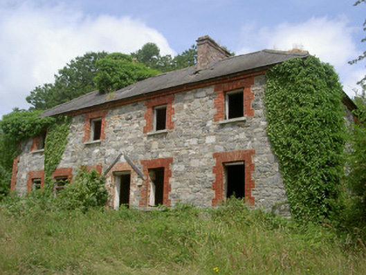 Dungooly Millmiller's house · 1269 yd
 Bawn in DungoolyBawn · 1378 yd
 Dungooly Bridgebridge · 1549 yd
 Sky HillMountain / peak · 1.0 mi
 CroslieveMountain / peak · 1.3 mi
 Mass Rock Loop TrailWalking route · 1.4 mi
 Golf 30Fort · 1.5 mi
 Forkhill Greenspace PathwayWalking route · 1.6 mi
 Ring of Gullion Way - ForkhillVisitor information · 1.8 mi