What is recorded here
Mnemo knows the COUNTERSCARP RATH in Fergort as a counter-scarp fort, not a passive ruin. The distinction matters because the defensible edge would have faced outward, meeting invasion before it reached the living centre.
The official Northern Ireland record identifies this as COUNTERSCARP RATH. Recorded period: E.CHRIST.. Recorded protection: Scheduled. The official map point was placed at the centre of the recorded archaeological site from the source map reference.
The monument record does not grant public access. Check the route and ask the landowner before entering private land.
- What survives
- Recorded monument
Places near here
 HOLY WELL: SAINT MALACHYS WELL, SAINT MOCHUAS WELL & TOBAR MOCHUA AGUS MOCHOLMOG in DrummelandHOLY WELL: SAINT MALACHYS WELL, SAINT MOCHUAS WELL & TOBAR MOCHUA AGUS MOCHOLMOG · 833 yd
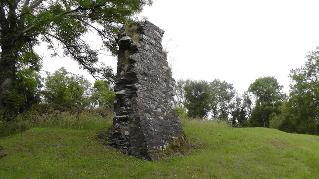 MULTIPERIOD CHURCH, GRAVEYARD & ENCLOSURE: DERRYNOOSE OLD CHURCH, LISROCATTY, LYSREAKEILTE, LISTRAKELT, ST. MOCHUA'S in ListarkeltMULTIPERIOD CHURCH, GRAVEYARD & ENCLOSURE: DERRYNOOSE OLD CHURCH, LISROCATTY, LYSREAKEILTE, LISTRAKELT, ST. MOCHUA'S · 903 yd
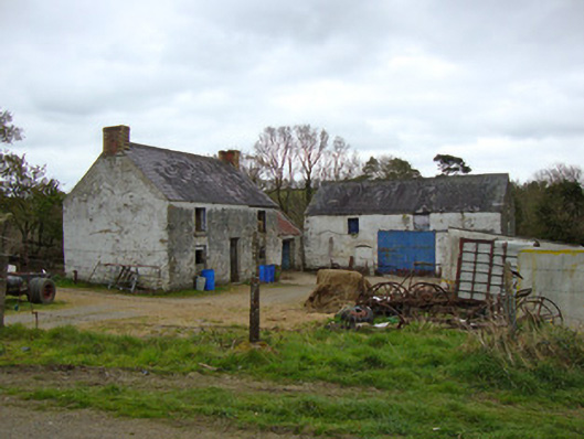 Ballygreany Millmill (water) · 1.9 mi
 Battle of ClontibretBattlefield · 2.5 mi
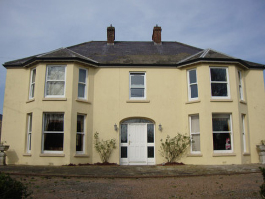 Greenmount Househouse · 2.5 mi
 Keady MonumentMemorial · 3.6 mi
 Keady GlenForest · 3.6 mi
 Castleshane WaterfallWaterfall · 3.7 mi
 Monaghan WayWalking route · 4.0 mi
 CHURCH & GRAVEYARD: TASSAGH GRAVEYARD in TassaghCHURCH & GRAVEYARD: TASSAGH GRAVEYARD · 5.6 mi
 Mullyash MountainMountain / peak · 6.5 mi
 CarrigatukeMountain / peak · 7.1 mi