What is recorded here
Marked on the Strafford map of c. 1636, and a mill owned by Sir Luke Dillon and others in 1641 had passed to Erasmus Smith later in the 17th century (Simington 1949, Athlone (244) 98). It is marked as a functioning corn and tuck mill on the 1837 ed. of the OS 6-inch map. Situated on the S bank of a short W-E stream…
Read the whole record
Marked on the Strafford map of c. 1636, and a mill owned by Sir Luke Dillon and others in 1641 had passed to Erasmus Smith later in the 17th century (Simington 1949, Athlone (244) 98). It is marked as a functioning corn and tuck mill on the 1837 ed. of the OS 6-inch map. Situated on the S bank of a short W-E stream flowing into Lough Ree at Carnagh Bay, and just W of a bridge. The stream is stone-lined (Wth 1.4m; D 1m at S; 2m at N) with part of the N (L c. 3m; H c. 2m) and E (L c. 2m; H 1.5m) walls of a structure represented by a cairn (dims 6m N-S; 6m E-W; H 0.6m at S) and known locally as O'Brien's mill. Just 10m S and on the other side of a NE-SW section of road is a rectangular structure (RO046-012001-) (ext. dims 11m E-W; 5.4m N-S) defined by masonry walls (H 1.2m) with a fireplace in the E wall that is known locally as the millers house.
From the National Monuments Service (Archaeological Survey of Ireland) record RO046-012002
Places near here
Picture notes
- Computer-made picture. It does not show this monument.
- National Inventory of Architectural Heritage
- Christopher Hilton, Wikimedia Commons · CC BY-SA 2.0
- Kieran Campbell, Geograph · CC BY-SA 2.0
- Arno-nl, Wikimedia Commons · CC BY-SA 4.0
 Embanked enclosureEarthwork · 768 ydComputer-made picture
 Standing stone in CarrownderryStanding stone · 1122 ydComputer-made picture
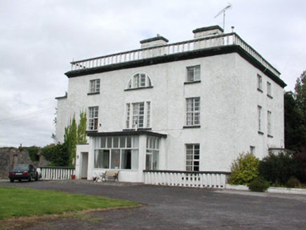 Newpark HouseCountry house · 1186 yd
 IndicatedEarthwork · 1309 ydComputer-made picture
 Architectural fragment in KiltoomArchitectural fragment · 1354 ydComputer-made picture
 Grave YardGraveyard · 1357 ydComputer-made picture
 Graveslab in KiltoomGraveslab · 1364 ydComputer-made picture
 Bullaun stone in Carnagh EastBullaun stone · 1368 ydComputer-made picture
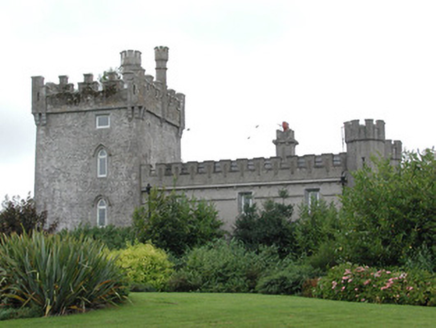 Moyvannan CastleCountry house · 1.1 mi
 RindoonWood · 3.0 mi
 Rindown CastleCastle, Anglo-Norman masonry castle · 3.2 mi
 Safe HarbourBay · 3.2 mi
More historic places in County Roscommon · All of County Roscommon

What do you know about this place?Tap to add a comment or ask a question