What is recorded here
On W shore line of coastal inlet just S of Leap. Dilapidated 3-storey structure; Z in plan; built into slope. Original roof removed; external walls once weatherslated.
The above description is derived from the published 'Archaeological Inventory of County Cork. Volume 1: West Cork' (Dublin: Stationery Office, 1992). In certain instances the entries have been revised and updated in the light of recent research.
Date of upload/revision: 14 January 2009
The monument record does not grant public access. Check the route and ask the landowner before entering private land.
- What survives
- Recorded monument
Places near here
 Corn Mill (Disused)Mill, corn · 107 yd
 Urellhouse · 225 yd
 Leap waterfallHeritage attraction · 276 yd
 Sitka SpruceSitka Spruce · 697 yd
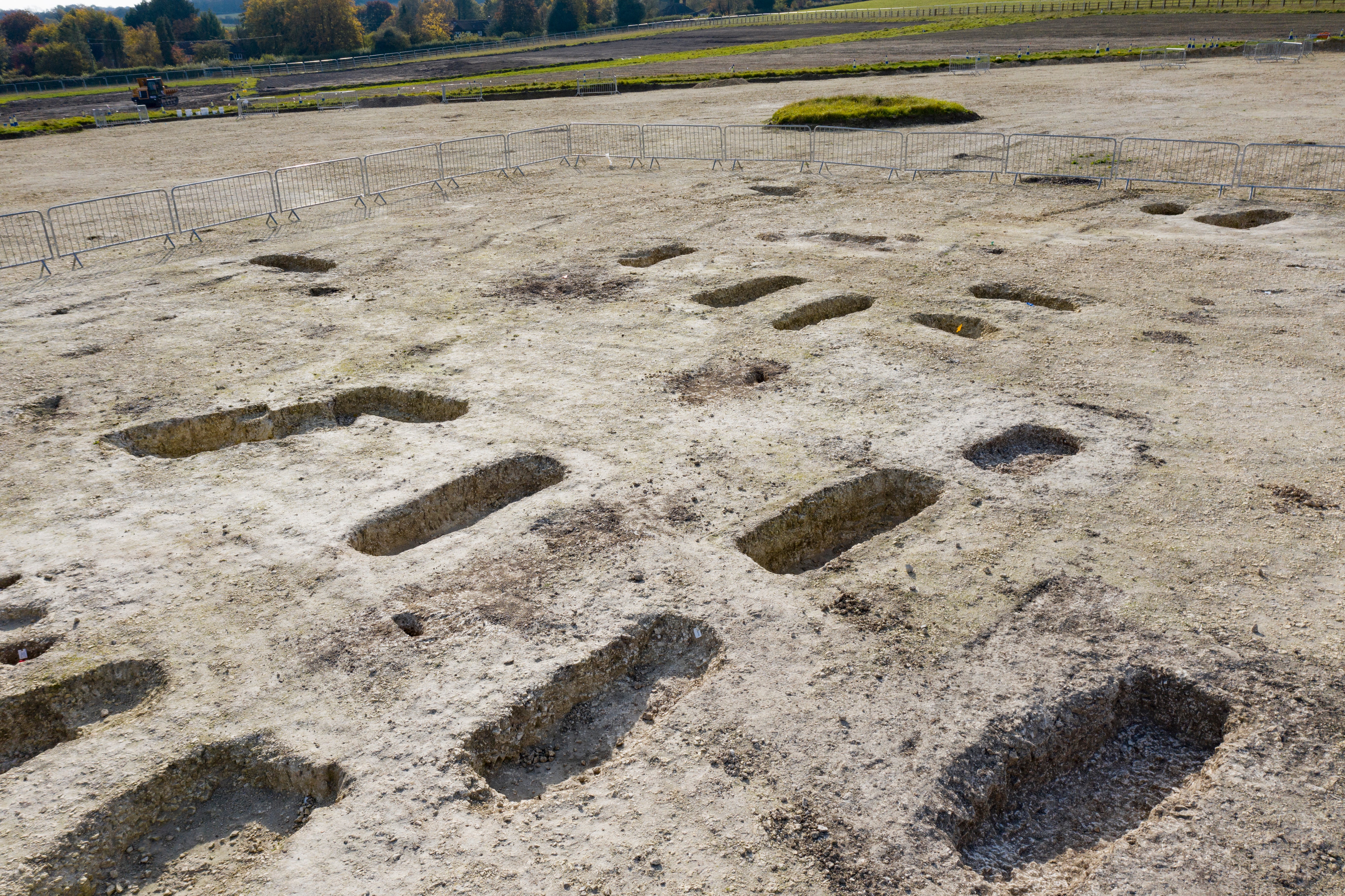 Burial Ground (Disused)Burial ground · 827 yd
 Bláth na GréineWood · 1004 yd
 Myross PointHeadland · 1141 yd
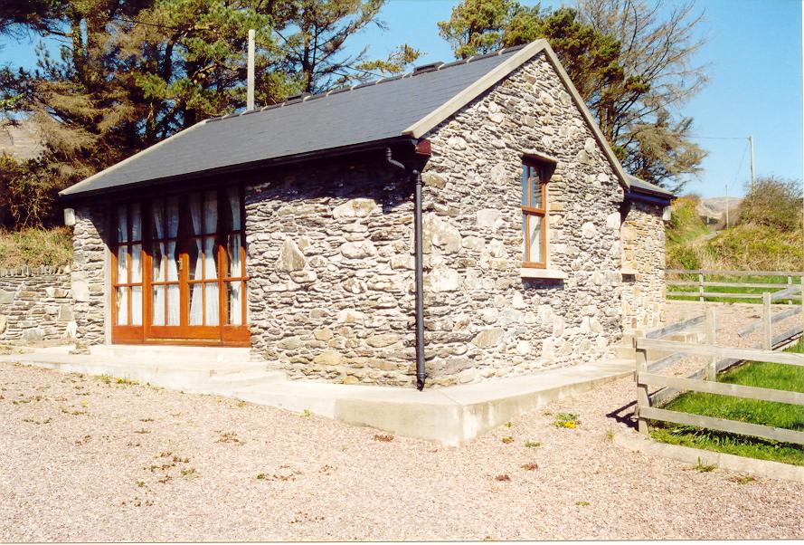 Enclosure in Aghatubrid MoreEnclosure · 1364 yd
 Wild Atlantic WayVisitor information · 1706 yd
 Cnoc BuíMountain / peak · 1.2 mi
 Big HeightMountain / peak · 1.2 mi
 Tobar na gCapallSpring · 1.3 mi