What is recorded here
Corn Mill depicted on the first edition OS 6-inch map as been identified as possible pre-1700 mill site (Geraldine Stout).
Compiled by: Caimin O'Brien
Date of upload: 11 November 2013.
The monument record does not grant public access. Check the route and ask the landowner before entering private land.
- What survives
- Recorded monument
Places near here
 Brú na Bóinne Visitor Centre AccessHeritage attraction · 308 yd
 Brú na Bóinne Visitors CentreVisitor information · 455 yd
 Brú na Bóinne Visitor Centreheritage centre/interpretative centre · 473 yd
 St. Bernards WellHoly well · 731 yd
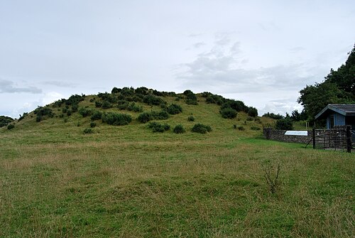 DowthNeolithic passage tomb · 742 yd
 Church (in Ruins)Church · 798 yd
 Dowth CastleCastle, tower house · 837 yd
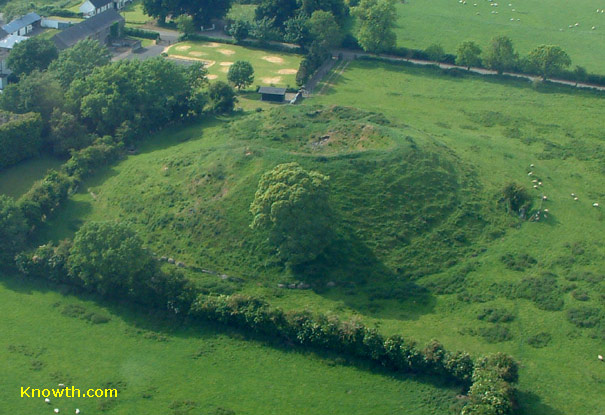 Concentric enclosure in DowthConcentric enclosure · 867 yd
 Glenmore ForestWood · 1631 yd
 Proudfootstown CastleCastle, unclassified · 1.4 mi
 European YewEuropean Yew · 1.9 mi
 Battle of the BoyneMajor battlefield · 2.0 mi